
Blue Ridge Parkway Takes 10.5 Hours at 45 MPH
For the full 469 miles without camping, allow 3-4 days minimum; most people take 5-6. Asheville to Cherokee works as a standalone 1-2-day trip.
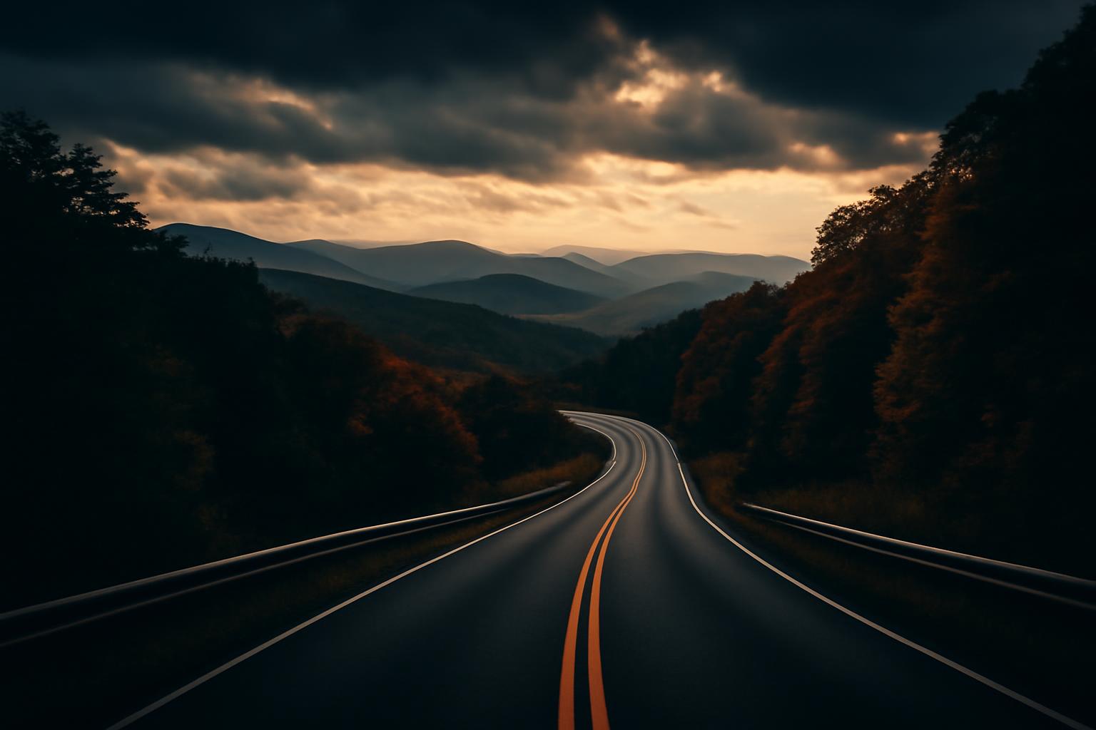
The Blue Ridge Parkway runs 469 miles from Shenandoah National Park at Rockfish Gap, Virginia to Great Smoky Mountains National Park at Cherokee, North Carolina. It has no commercial traffic, no billboards, and a 45 mph speed limit the entire length. Those are its best attributes and its main planning constraint.
How long it actually takes
At 45 mph with no stops, 469 miles is about 10.5 hours of driving. With the stops you’ll want to make and the speed you’ll actually average (35–40 mph on the curvier sections), the realistic calculation is:
- Full parkway, no camping: 3–4 days minimum; most people do it in 5–6
- Virginia section only (Rockfish Gap to Roanoke, ~115 miles): a long day drive with time to stop
- North Carolina section (Asheville to Cherokee, ~90 miles): the most dramatic terrain, good as a standalone 1–2 day trip from Asheville
The parkway connects to dozens of cross-roads. You don’t have to start at one end — entering at Asheville and driving south to Cherokee, or starting at Boone and heading north, are both reasonable approaches.
When to go
Late October: Peak foliage in the high elevations (4,000–6,000 feet) hits 10–14 days before the valleys. The southern sections peak in late October. This is the most crowded period — pull-offs fill by 9 AM on weekends. Weekdays are measurably better.
May–early June: Second-best period. Rhododendron bloom from late May through June, wildflowers are out, and crowds are lower than fall. The Craggy Gardens section near Asheville is exceptional in late May.
Summer: Busy on weekends. High elevations stay 10–15°F cooler than nearby cities, which drives traffic from Charlotte, Raleigh, and Asheville. Mornings are best; afternoon thunderstorms are common July–August at high elevations.
Winter: Sections frequently close due to ice and snow. The NPS posts current closures at nps.gov/blri/planyourvisit/road-closures.htm. Don’t plan a winter trip around the full parkway being open.
Specific stops worth planning around
Mabry Mill (milepost 176.2, Virginia): The most photographed mill on the parkway, operational. Arrive early — parking is limited and it draws crowds from mid-morning on fall weekends.
Linn Cove Viaduct (milepost 304.4, North Carolina): A concrete viaduct built around Grandfather Mountain rather than through it. The engineering is the point — park at the Linn Cove Viaduct overlook and walk the short trail underneath.
Craggy Gardens (milepost 364.6, North Carolina): At 5,500 feet, this is a rocky heath with panoramic views. The picnic area is good for a longer break. In late May the catawba rhododendron bloom here is dense enough to be unusual.
Waterrock Knob (milepost 451.2, North Carolina): The highest visitor facility on the parkway at 6,000 feet. Sunsets are reliable here when the valley is in clouds below.
Practical notes
- Gas: The parkway has no fuel. Note the cross-roads with towns before each leg — you can go 50–80 miles between easy fuel exits.
- Cell service: Spotty throughout, absent on many sections. Download offline maps and the NPS Blue Ridge Parkway app before entering.
- Speed limit: 45 mph, enforced. Rangers run the road regularly.
- Tunnel clearance: Some tunnels have 12-foot clearance limits — the NPS site lists which. Not relevant for passenger vehicles, but worth noting if towing.
- Cyclists: The parkway is popular with road cyclists. Pass at 3 feet minimum; narrow sections mean slowing to near-stop to pass safely.
The parkway doesn’t reward rushing. A 60 mph route between the same endpoints exists — this is not it.