
US-93 Crosses High Desert Without Interstate Crowds
There are 80 miles of nothing between Caliente and Ely. Northbound drivers should top up in Caliente before setting out.
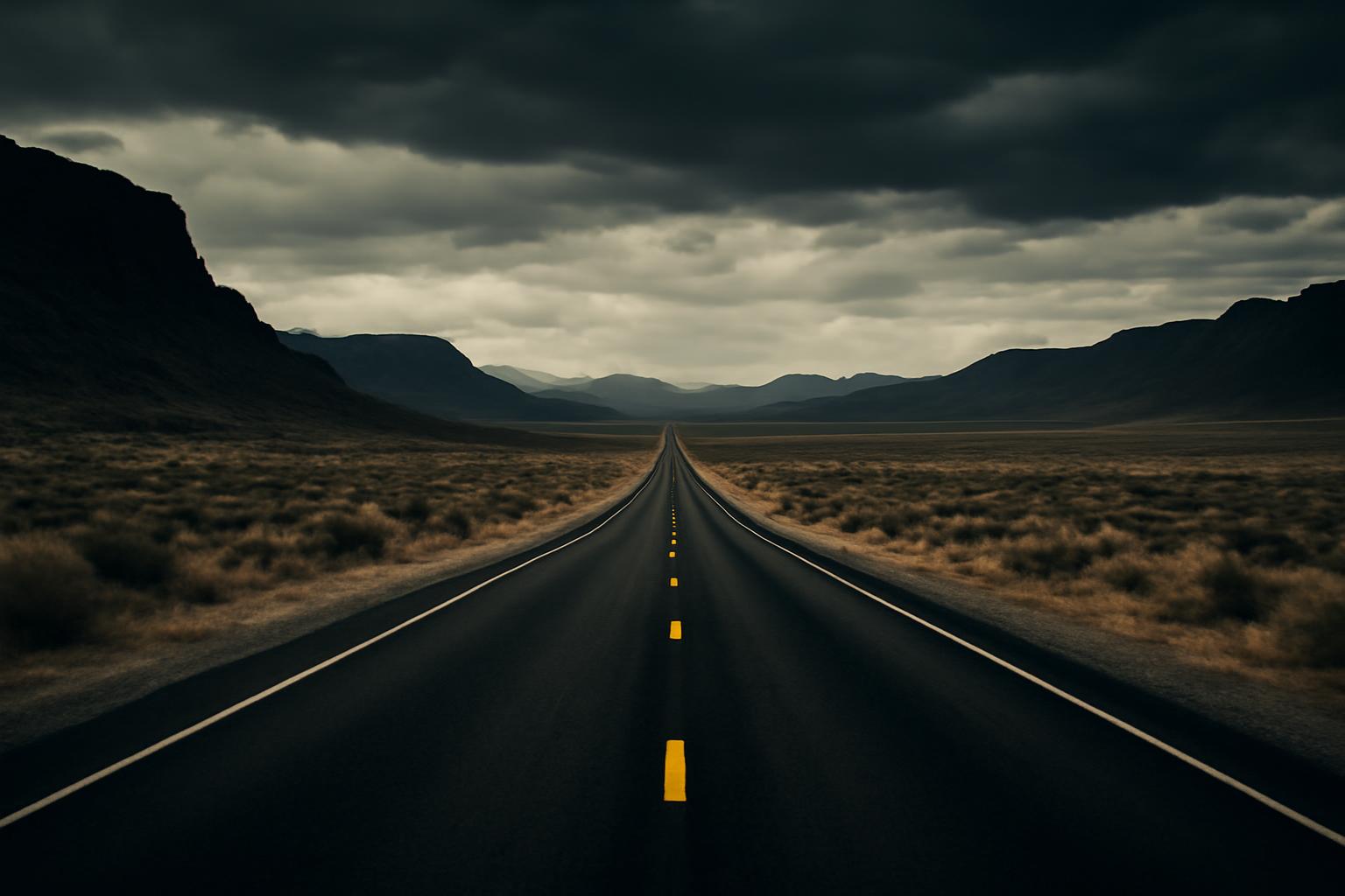
US-93 is the backbone highway that runs north from Las Vegas to the Canadian border, bypassing I-15 entirely for most of Nevada and Idaho. The Las Vegas to Twin Falls stretch — roughly 540 miles — covers four distinct terrain types and has almost nothing in common with interstate driving.
The legs
Las Vegas to Ely (239 miles) Leave the metro north on US-95, then pick up 93 at the junction near Searchlight. The road climbs through the Spring Mountains foothills and then flattens into the Mojave before crossing into Nevada’s Great Basin. Towns are sparse: Caliente (population ~1,100) at mile 160 is the last full-service stop before Ely. Fill up in Caliente. The stretch through Cathedral Gorge State Park is worth a 30-minute stop — the bentonite clay formations are unlike anything else on this corridor.
Ely is a proper small city by Nevada standards: fuel, grocery, lodging, and the Nevada Northern Railway Museum if you arrive with an hour to spare.
Ely to Wells (105 miles) This leg crosses the Ruby Mountains foothills. US-93 runs northeast and climbs to 6,500 feet before descending into the Humboldt River valley. Two-lane the entire way. Cell coverage is intermittent — download offline maps before you leave Ely. Wells is a truck stop town at the I-80 junction; fuel up here regardless of gauge.
Wells to Twin Falls (196 miles) Cross the Idaho border and the terrain shifts: sagebrush flats give way to the Snake River Plain. The approach to Twin Falls includes the Perrine Bridge crossing — 486 feet above the Snake River Canyon, one of the few places in the US where BASE jumping is legal year-round. Stop and look.
Conditions and timing
- Spring (April–May): Mountain passes near Ely can see late snow through early May. Passes clear fast but can ice overnight.
- Summer: Heat between Las Vegas and Caliente regularly exceeds 105°F. Carry at least two gallons of water and check coolant before departure.
- Winter: Not recommended for the mountain sections without AWD/snow tires and current NDOT road reports. US-93 through Nevada gets limited plow priority.
Fuel stops (northbound)
| Stop | Miles from Las Vegas | Services |
|---|---|---|
| Searchlight | 60 | Fuel, snacks |
| Caliente | 160 | Fuel, grocery, diner |
| Ely | 239 | Full services |
| Wells | 344 | Fuel, fast food |
| Twin Falls | 540 | Full services |
Never leave Caliente without topping up if you’re heading to Ely — 80 miles of nothing in between.
What to bring
- Paper Nevada/Idaho map or offline download: cell coverage drops for 40–60 mile stretches on the Nevada portion
- Water: two gallons minimum per person in summer, one gallon per person otherwise
- Roadside kit: tire inflator, jumper cables, mylar blanket — AAA response times in rural Nevada run 2–4 hours
- Cash: a few gas stations in the corridor don’t reliably process cards
The drive takes 8–9 hours with two stops. Splitting it in Ely makes sense if you want to take Cathedral Gorge and the Ruby Mountains at something other than highway speed.