
Choose a Colorado Scenic Drive by Time, Region and Season
Compare four Colorado scenic drives with clear endpoints, realistic driving and stop times, seasonal limits, and mountain-road preparation advice.
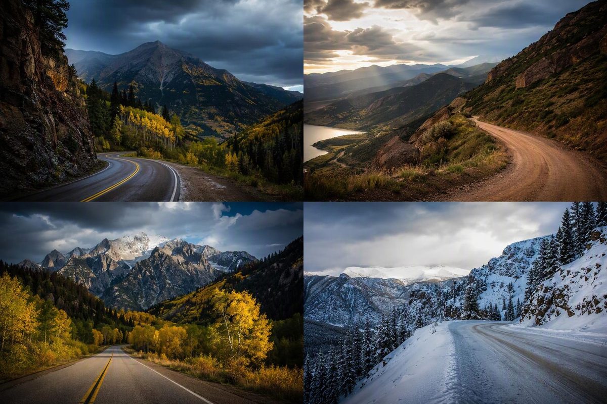
Choose Peak to Peak for a Front Range outing, Trail Ridge Road for a seasonal alpine crossing, Rim Rock Drive for a short red-rock drive near Grand Junction, or the San Juan Skyway for a southwest Colorado trip. They solve different planning problems; the longest route is not automatically the best choice.
For a November trip, don’t build your itinerary around crossing Trail Ridge Road: it normally closes to through travel from mid-October to late May. Peak to Peak and Rim Rock Drive offer year-round alternatives, but neither is immune to winter weather or temporary closures. Check conditions before committing to either. (NPS seasonal guidance, Peak to Peak season information, Rim Rock road information)
Compare the route, not just the mileage
These are planning allowances for reasonable conditions, informed by the operators’ published driving times—not guaranteed travel times. The visit budgets add viewpoints, short walks and meals, but exclude long hikes, major attractions and travel from your hotel.
| Drive | Route distance | Driving allowance, without sightseeing | Suggested visit budget | Main constraint |
|---|---|---|---|---|
| Peak to Peak | 55 miles, one way | 1½–2 hours | 3–4 hours, one way | Return journey is extra |
| Trail Ridge Road | 48 miles, one way | 2–3 hours | 4–6 hours, one way | Seasonal through-road; park entry requirements |
| Rim Rock Drive | 23 miles, entrance to entrance | About 1 hour | 2–3 hours | Narrow road, sharp turns and exposed edges |
| San Juan Skyway | 236-mile loop | 6–7 hours | 9–11 hours for a light-stop day; preferably two days | Long mountain-road day; exposed Million Dollar Highway section |
Only the San Juan Skyway is a loop as listed. For the other three, decide whether you are continuing onward, retracing the route or returning by another road before setting your day’s schedule.
Peak to Peak: the practical Front Range choice
Follow the byway between Black Hawk/Central City and Estes Park, with Nederland along the way. It offers mountain views and town stops without requiring a crossing of Rocky Mountain National Park. Colorado’s tourism office lists a 55-mile route and about two hours to allow. (Official route overview)
Keep the stop list simple: walk around Central City, pause in Nederland for a meal, then finish with Estes Park’s riverwalk. Those towns give the drive a useful rhythm without adding a separate trailhead expedition.
Budget about four hours for the scenic section with those stops, then add your approach and return. The advertised 55 miles is not a Denver round trip. If your available time is tight, choose a shorter section rather than rushing the whole byway.
This is also the most straightforward substitute here when Trail Ridge Road is unavailable and you are already on the Front Range. Year-round access does not mean dry pavement; check the forecast and road restrictions before heading uphill.
Trail Ridge Road: choose it for the alpine crossing
Trail Ridge Road follows US 34 between Estes Park and Grand Lake, reaching 12,183 feet, with 11 miles above treeline. That open alpine terrain is its main distinction from Peak to Peak. NPS recommends putting aside at least half a day. (NPS route guide)
Pick a few marked overlooks and, if conditions allow, the short Tundra World Nature Trail near Rock Cut. Bring a warm layer even when the gateway towns feel comfortable: NPS warns that the high road is normally windy and substantially colder than Estes Park or Grand Lake. (Alpine conditions and trail details)
The important itinerary decision is your endpoint. A four-to-six-hour visit ending in Grand Lake is different from a day that must finish back in Estes Park. Retracing the full crossing doubles the route mileage to 96 miles and adds another substantial driving block.
Before booking around the crossing, check park road status or call 970-586-1222. For summer and early-fall trips, also check the timed-entry requirements for your travel dates. Under the published 2026 system, the reservation option excluding Bear Lake Road serves Trail Ridge Road; park admission is separate. Check the rules again when planning a later season.
Rim Rock Drive: a short drive with real exposure
Choose this route when you are near Fruita or Grand Junction and want canyons and rock towers rather than an alpine pass. Start at the west entrance in Fruita if you want the visitor center early in the drive; it is four miles from that entrance. NPS also says west-to-east travel may be easier for drivers uncomfortable with heights because the vehicle is farther from the cliff edge on most sections. (NPS driving guide)
Allow two to three hours for overlooks and a short walk near the visitor center. The 23-mile drive is not a closed loop: add the outside-road journey back to your starting point if needed.
Short does not mean easy. Rim Rock Drive has steep drop-offs, sharp turns, no shoulders and three tunnels with a 16-foot height restriction. Watch for cyclists and rockfall. (Vehicle and road details)
As checked November 1, 2026, standard private-vehicle admission is $25 for seven consecutive days. Winter storms can temporarily close the upper road, and icy switchbacks are possible even when the valley roads are clear. (Fees, winter closure procedures)
San Juan Skyway: give the southwest loop enough time
The loop links Durango, Silverton, Ouray, Ridgway, the Telluride area, Rico, Dolores, Cortez and Mancos. CDOT lists 236 miles and six hours of driving; Colorado’s tourism office allows seven. The Million Dollar Highway between Silverton and Ouray is only one part of it. (CDOT overview, official route and stops)
For a one-day drive in good conditions with long daylight hours, limit yourself to a Molas Pass viewpoint stop, one town walk and a meal. A nine-to-eleven-hour day leaves little room for a lengthy attraction visit. Don’t treat Mesa Verde or a railroad excursion as a quick addition.
For a more workable two-day plan, drive Durango–Silverton–Ouray–Ridgway–Telluride on day one, then continue through Rico, Dolores, Cortez and Mancos to Durango on day two. Add travel into Telluride town to your navigation plan rather than assuming every town visit is included in the loop’s headline mileage.
The tourism office warns of drop-offs without guardrails on the Million Dollar Highway and lists spring through fall as the best travel season. CDOT specifically advises checking winter road conditions. Treat the table’s driving allowance as a fair-weather budget, not a winter target. (Route cautions and season, CDOT winter guidance)
If exposure makes you uncomfortable, don’t commit to the full loop merely to complete it; plan a shorter outing from your southwest Colorado base. Schedule outdoor stops around summer afternoon thunderstorms. (Seasonal cautions)
Before leaving town
Refuel before starting the scenic section, download your route, and carry water and warm layers. Leave time to stop in designated pullouts rather than trying to sightsee while driving.
Check Colorado’s COtrip traveler service for state-road closures and restrictions, and use the park road pages for the two NPS drives. Colorado can activate traction and chain laws on any state highway; under a passenger-vehicle chain law, every vehicle needs chains or an approved alternative traction device. AWD is not an exemption. (CDOT requirements)