
Scottsdale to the Grand Canyon: Distance, Drive Time and Day-Trip Reality
The Grand Canyon South Rim is about 230–240 miles from Scottsdale. Allow roughly four hours each way before stops, traffic and entrance lines.
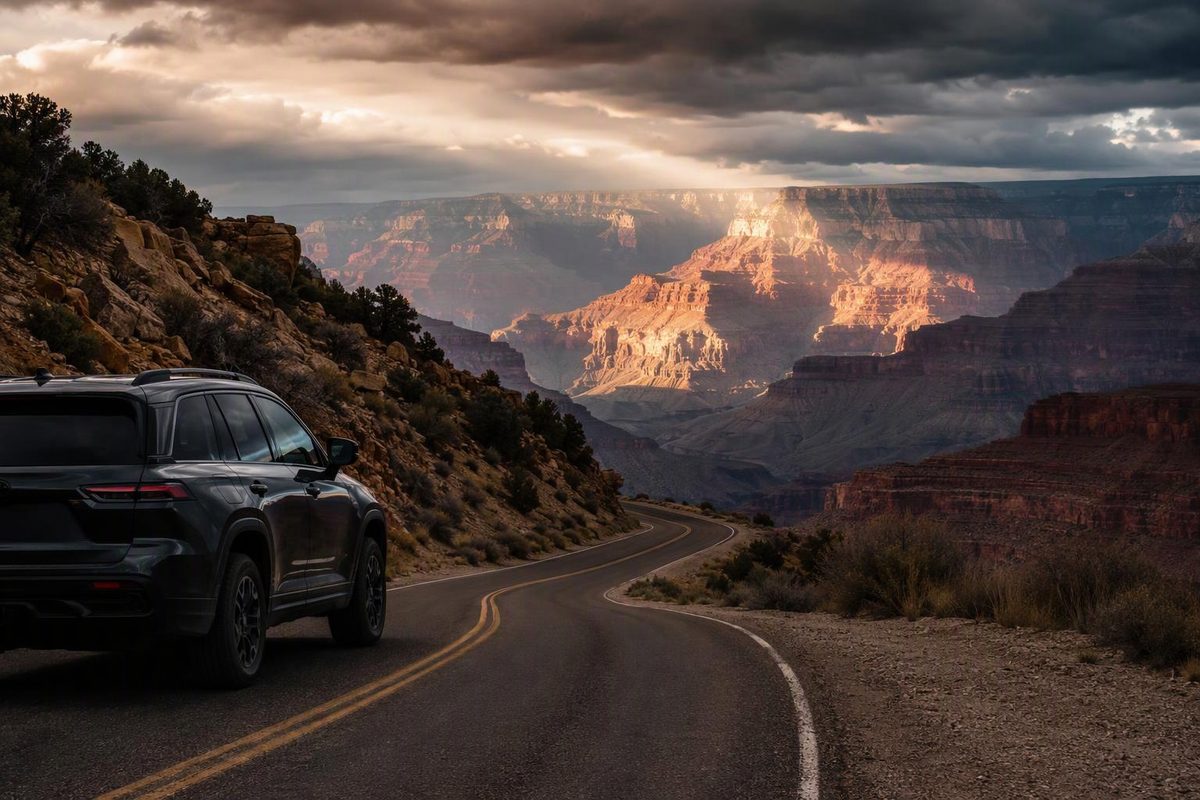
The Grand Canyon’s South Rim is about 230–240 miles from central Scottsdale, depending on your exact start and endpoint. Expect approximately 3 hours 45 minutes to 4 hours of driving without stops. A more useful allowance is 4–4.5 hours each way, plus any wait at the park entrance.
A Scottsdale-specific route estimate puts the trip at about 230 miles and 3 hours 45 minutes to 4 hours, while Experience Scottsdale describes the drive as about four hours (GrandCanyon.com route estimate; Experience Scottsdale). Mileage varies with your Scottsdale starting point and whether you navigate to the South Entrance, Visitor Center or Grand Canyon Village. The entrance station itself is 4.9 miles south of the Visitor Center.
Scottsdale–Grand Canyon route stats
| Detail | Practical estimate |
|---|---|
| Destination | Grand Canyon South Rim |
| Distance | About 230–240 miles one way |
| Driving time without stops | About 3 hr 45 min–4 hr |
| Realistic one-way allowance | 4–4.5 hr |
| Round-trip driving | About 460–480 miles |
| Full day-trip commitment | Roughly 11–14 hr |
| Main route | Loop 101/I-17, I-40, SR 64 |
| Fuel availability | Services in Flagstaff, Williams and Tusayan |
| Seasonal status | South Rim open year-round; winter disruptions possible |
These figures refer to Grand Canyon National Park’s South Rim, the usual destination for a Scottsdale trip. Grand Canyon West and the North Rim are separate destinations reached by different roads. Although the rims average only about 10 miles apart across the canyon, the drive between South Rim Village and North Rim Village is 215 miles and takes about five hours (NPS basic information).
The most straightforward driving route
From most of Scottsdale:
- Use Loop 101 or another local connector to reach I-17 North.
- Follow I-17 through Camp Verde to Flagstaff.
- Take I-40 West toward Williams.
- At Williams, turn north onto SR 64 for the final approach through Tusayan and the South Entrance.
The National Park Service places the South Rim 63 miles north of Williams via SR 64 and 81 miles northwest of Flagstaff (NPS South Rim directions). The Williams route is the simpler default because it remains on interstate highways until the final SR 64 leg.
Plan at least one brief fuel, restroom or meal stop even if navigation shows a sub-four-hour ETA. Flagstaff and Williams have extensive services, and fuel is also available in Tusayan, seven miles south of Grand Canyon Village. There is currently no service station in the village itself (NPS goods and services).
Is a Grand Canyon day trip from Scottsdale realistic?
Yes, but it is a long driving day rather than a quick outing. Eight to nine hours can disappear into the round trip once one short stop is added in each direction. Allow another three to five hours for parking, viewpoints, a short Rim Trail walk and food. That makes 11–14 hours a realistic total.
Leave Scottsdale early. During spring break, summer and fall weekends, the South Entrance can have waits of up to two hours between 10 a.m. and 4 p.m., according to the park’s road-and-weather page (NPS road conditions). If you arrive by 10 a.m. during the busy season, the park says you can usually find parking in one of the four Visitor Center lots (NPS South Rim parking).
For a simple first visit, park near the Visitor Center, walk 0.2 mile to Mather Point and use the free shuttle or Rim Trail rather than repeatedly moving the car. The park does not require an entrance reservation or timed entry, although every visitor still needs an entrance pass (NPS operations update).
An overnight in Tusayan, Grand Canyon Village or Williams is the better choice if you want sunrise or sunset, more than a short rim walk, or relief from eight-plus hours behind the wheel.
Check mountain conditions, not Scottsdale weather
Scottsdale’s weather is a poor guide to conditions at the rim. The route climbs into northern Arizona, and snow or ice can affect I-17, Flagstaff and SR 64 while the Phoenix area remains mild.
The South Rim is open year-round, but roads can close temporarily during winter storms. The NPS says road crews use rock cinders rather than salt or snow-melt products and recommends checking Arizona’s traveler-information system before leaving (NPS winter guidance; AZ 511). In winter, carry warm layers, a scraper, water and basic emergency supplies—and do not treat a mapping app’s best-case ETA as the day’s schedule.