
Torrey Pines Scenic Drive: Coastal Route, Beach Stops and Reserve Closure
Plan the Torrey Pines coastal drive with directions, realistic timing, beach parking and the reserve closure scheduled through winter 2026–27.
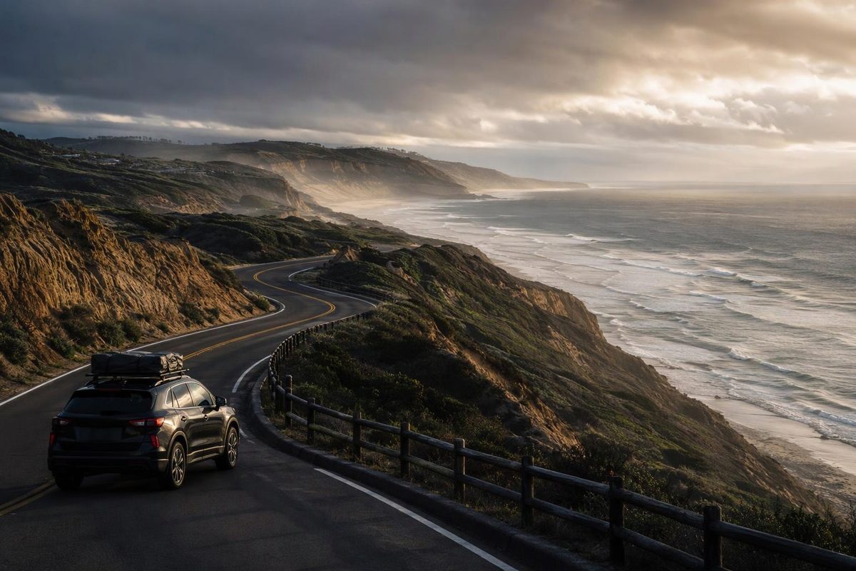
For a short Torrey Pines scenic drive, follow North Torrey Pines Road down the grade and along the beach toward Carmel Valley Road. Treat it as a coastal drive, not a drive-through tour of the reserve: the public-road approach and the road inside Torrey Pines State Natural Reserve are different parts of the trip.
As of November 7, 2026, California State Parks lists the reserve as closed. The closure covers the reserve road, all trails, the Beach Trail Staircase, the Lodge and both upper parking lots. Do not plan to drive uphill inside the reserve or park elsewhere and walk in. Torrey Pines State Beach and its North and South parking lots remain open. The reserve is scheduled to reopen in March 2027; check the construction update before departure rather than treating that date as guaranteed.
The short coastal route
| Planning item | What to allow |
|---|---|
| Start | I-5’s Genesee Avenue exit, approaching from the south |
| Finish | North Torrey Pines Road at Carmel Valley Road |
| Distance | Roughly 5–6 miles one way along this approach |
| Driving allowance | About 15–25 minutes in light traffic; longer with congestion |
| Out-and-back allowance | About 30–50 minutes of driving, excluding stops |
| Reserve access | Closed as of November 7, 2026; reopening scheduled for March 2027 |
The timing figures are planning estimates, not measured journey times. This is a short local outing; parking searches and a beach stop can take longer than the drive itself.
From I-5 northbound, exit at Genesee Avenue and turn left. Continue on Genesee, bearing right onto North Torrey Pines Road. State Parks gives approximately 4.5 miles for this approach to the reserve entrance at the bottom of the grade. For the coastal drive, stay on North Torrey Pines Road rather than turning into the reserve, then continue north beside the beach to Carmel Valley Road. State Parks’ directions identify both the grade-bottom entrance and the beachside approach.
Coming from the north, reverse the beachside portion: reach Carmel Valley Road from I-5, travel west approximately 1.5 miles, then turn south onto the coast road. State Parks places the reserve entrance about a mile farther along, just before the highway climbs the grade. This direction puts the beachside section first. Official approach directions describe the coast road as Coast Highway 101.
Where to stop while the reserve is closed
The beach-level stretch is the reason to choose this road over an interstate-only journey. It is a brief coastal segment, not a long scenic loop with a succession of signed overlooks. Keep moving with traffic and use legal parking rather than stopping in a travel lane for photographs.
For a beach stop near the northern end, continue to Carmel Valley Road, turn right, then turn right at McGonigle Road into the North Beach lot. Allow an extra 30–60 minutes for parking and a short beach visit. As of November 7, State Parks lists demand-based vehicle parking fees of $10–$25 at North Beach and $15–$20 at South Beach. RVs longer than a standard parking space must use designated spaces in the North Beach lot. Beach directions and parking rules are separate from reserve access.
If you walk on the beach, stay away from the base of the cliffs: State Parks warns that rockslides and cliff collapses can occur without notice and recommends low tide for more room between the bluffs and waves. Beach safety guidance matters even though the reserve trails are closed.
The reserve’s pine stands, cliff-top trails and visitor center are a separate visit. If those are your main goal, postpone that part until State Parks confirms reopening. For the coastal outing, navigate using North Torrey Pines Road and Carmel Valley Road, rather than making the closed visitor center your destination.