
Plan the Talimena Scenic Drive as a Half-Day, Not a Shortcut
Plan the 54-mile Talimena Scenic Drive with realistic timing, useful stops, fuel planning, fall foliage timing and road-condition checks.
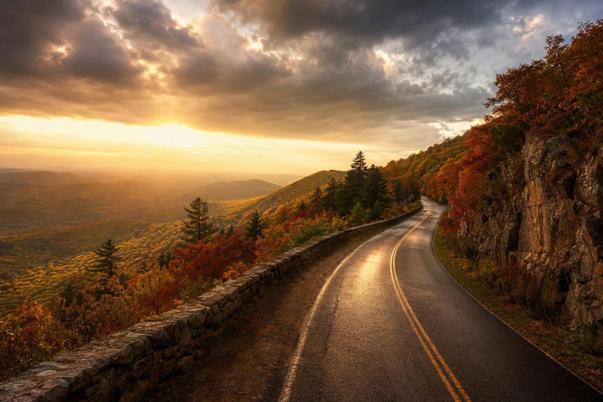
The Talimena Scenic Drive is a 54-mile ridge-top route between the Talihina area in Oklahoma and Mena, Arkansas. It follows Winding Stair and Rich mountains through the Ouachita National Forest. For planning, allow roughly 1½–2 hours for driving alone, or 4–5 hours for overlooks, a picnic and Queen Wilhelmina State Park—not counting your approach drive or return trip. The Federal Highway Administration’s byway guide allows one to two hours to drive and five hours to enjoy the route.
Route at a glance
| Planning detail | What to expect |
|---|---|
| Distance | 54 miles one way, about 87 km |
| Roads | Oklahoma Highway 1 and Arkansas Highway 88 |
| Western entrance | US 271/OK 1 junction northeast of Talihina—not downtown Talihina |
| Eastern end | Mena, Arkansas |
| Driving allowance | 1½–2 hours in favorable conditions, without sightseeing stops |
| Scenic visit | Budget 4–5 hours one way with selected stops |
| Fuel on the byway | No gas stations; fill up before entering |
| Fee | No fee to drive the byway; lodging and camping are separate |
| Season | Listed as open year-round, subject to actual road and weather conditions |
Route and fuel details come from Oklahoma’s official tourism guide; the western entrance is identified in the FHWA guide. Distance, year-round operation and the no-fee designation are confirmed by the Forest Service.
Follow the ridge road, not just a town-to-town route
Driving west to east, reach the US 271/OK 1 junction, then follow OK 1 east toward Arkansas. The route becomes AR 88 across the state line and continues toward Mena. Reverse those directions if starting in Mena.
Enter the scenic highway and a stop such as Queen Wilhelmina State Park into your navigation plan, rather than asking only for the fastest Talihina–Mena route. Confirm that the resulting route follows OK 1 and AR 88. Download the map before setting out.
The byway is a winding paved road, so the main scenic route does not call for an off-road vehicle in dry, clear conditions. That does not establish the suitability of adjoining forest roads or winter travel.
Choose a few stops instead of every turnout
For a first visit, combine two or three overlooks with one picnic stop and the Arkansas state park. The stop allowances below are planning suggestions, not fixed visit lengths.
Oklahoma overlooks — allow 30–45 minutes total. The official tourism guide lists more than 15 vistas on the Oklahoma section, including Panorama, Holson Valley, Big Cedar and Kiamichi Valley. Treat these as options rather than a compulsory checklist: use the vista list to select stops, then adjust for visibility and available parking. Park fully out of the travel lane before looking or taking photographs.
Horsethief Springs — allow 20–30 minutes for a picnic. This historic spring and picnic area is on OK 1, six miles west of the US 259 junction. The Forest Service lists vault toilets but no potable water, so bring drinking water rather than relying on the spring. See the Horsethief Springs site details.
Queen Wilhelmina State Park — allow 45–60 minutes for a brief visit. The park sits atop Rich Mountain and offers a lodge, Queen’s Restaurant, picnic areas and trails. It is a useful longer break on the Arkansas section. Check the park’s official page before depending on a meal or booking an overnight stay. A restaurant meal or substantial hike needs more time than this brief-stop allowance.
Those stops, plus driving, fit a relaxed 4–5-hour window with some buffer. If you must return over the entire byway, the scenic-road distance becomes 108 miles, before the Talihina approach or other local driving. Reserve another driving block; the one-way visit estimate is not a round-trip schedule.
Fall color and conditions: choose visibility first
Oklahoma tourism gives the last week of October through the first week of November as the typical peak foliage window. That is a seasonal guide, not a confirmed 2026 peak forecast. A clear day outside peak color can serve this drive better than a foggy day during it.
As of October 3, 2026, the Forest Service’s byway page lists the site as open and operating year-round. Arkansas’s highway closure report does not list AR 88. Neither is an all-clear for every mile or for your departure date.
Before leaving, check:
- ODOT’s current traffic tools for the Oklahoma section and approach roads.
- IDrive Arkansas for closures, incidents and lane closures on the Arkansas section.
- Ouachita National Forest alerts if adding trails, campgrounds or forest-road detours.
Schedule the sightseeing in daylight. If fog obscures the views, shorten the outing rather than trying to recover time by driving faster. With snow or ice forecast, postpone a discretionary scenic trip; ODOT’s winter guidance recommends staying in when possible and checking conditions before travel.
Fuel and vehicle preparation
Fill up in Mena or Talihina before entering. The official tourism guide places the nearest gas stations to the western entrance in Talihina, about a ten-minute drive away, and states that there are none along the scenic drive. For an EV, verify working charging options before committing; do not build the trip around an assumed ridge-top charger.
Check tire pressure and condition, brakes, lights and wipers. Carry water, food, a charged phone, a power bank and a layer for outdoor stops. On descents, use a lower gear as appropriate for your vehicle, following its handbook, rather than continuously riding the brakes; the National Park Service gives the same general mountain-driving advice. If towing or driving a large RV, leave extra time and assess turnout space before entering: pavement alone does not make every overlook a suitable parking stop.