
14 Route 66 Destinations That Fit a Real Road Trip
Choose Route 66 destinations from Chicago to Santa Monica, with realistic stop times, overnight bases and practical cautions for historic alignments.
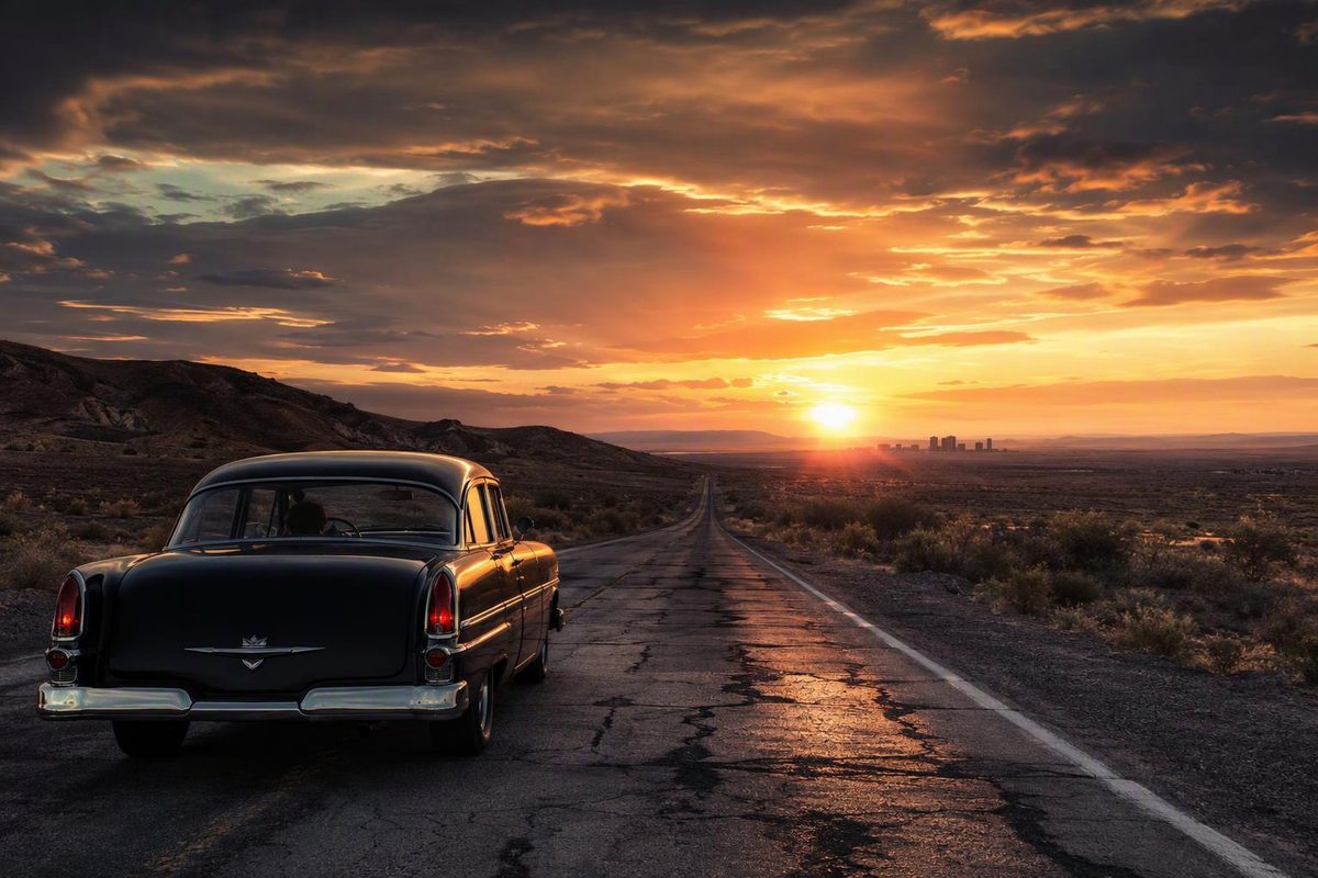
Route 66 is not one continuous signed highway. It was removed from the U.S. Highway System in 1985, and its surviving alignments now use local streets, state highways, frontage roads and occasional interstate sections. The road also changed course several times. Treat the destinations below as anchors, then map the historic alignment you want between them. The National Park Service overview explains why multiple alignments survive.
For the full Chicago-to-California drive, allow about two weeks if you want more than quick photographs. Our 12-day Route 66 driving plan is selective; the 16-day Route 66 itinerary gives museums, historic business districts and natural stops more room.
The best Route 66 destinations, east to west
| Destination | Why stop | Time to allow |
|---|---|---|
| Chicago, Illinois | Photograph the marked start, see the lakefront and begin among the urban architecture that contrasts sharply with the western desert. The historic and ceremonial markers are not all in one place; use our guide to Route 66’s start and end points. | Half day |
| Pontiac and Springfield, Illinois | Pontiac is a compact museum-and-mural stop. Springfield works better as an overnight, combining Lincoln sites with surviving Route 66 pavement, signs and roadside businesses. Current local attractions include the Route 66 Motorheads collection, the reopened Shea’s Gas Station Museum and the Illinois State Fairgrounds’ Route 66 displays, according to Visit Springfield. | 2–4 hours in Pontiac; half to full day in Springfield |
| St. Louis and Chain of Rocks Bridge | Use St. Louis for major-city sights, food and lodging, but set aside time to walk or cycle the old bridge. Its famous bend carried Route 66 traffic from 1936 until the bridge closed to vehicles in 1968. It is now open daily to pedestrians and cyclists, with parking on both sides, according to the National Park Service. | Half to full day |
| Cuba to Springfield, Missouri | This is a useful Missouri sampler: Cuba for murals, Lebanon for highway history and Springfield for a larger overnight base. Pick one museum or cave rather than trying to stop at every restored station and sign. | Full day with stops |
| Galena, Riverton and Baxter Springs, Kansas | Kansas has only 13 miles of Route 66, so this section fits neatly between Missouri and Oklahoma. Galena, the Rainbow Bridge near Riverton and Baxter Springs make a satisfying two-hour sequence without forcing a large schedule change. Kansas Tourism identifies all three communities on the state’s historic byway. | 1.5–3 hours |
| Tulsa, Oklahoma City and Clinton, Oklahoma | Oklahoma is where Route 66 can consume more time than expected: the state promotes more than 400 drivable miles, plus museums in Clinton and Elk City and an interpretive center in Chandler. Tulsa and Oklahoma City are logical overnight bases; choose Clinton’s Oklahoma Route 66 Museum if you want one comprehensive museum stop. See the official Oklahoma Route 66 guide. | Two days for the state; 1.5–2.5 hours for one museum |
| Shamrock, Amarillo and Adrian, Texas | Shamrock provides the restored roadside architecture, Amarillo supplies lodging and food, and Adrian marks the traditional midpoint. Near Amarillo, combine the Sixth Avenue Historic District with Cadillac Ranch; the city is the main service base on Texas’s roughly 178-mile Route 66 corridor, as outlined by Visit Amarillo. | Half day in Amarillo; short stops elsewhere |
| Tucumcari and Santa Rosa, New Mexico | Tucumcari is strongest after dusk, when its surviving motel neon is visible. Santa Rosa adds the Blue Hole and a practical break before Albuquerque. New Mexico’s tourism office groups the Blue Swallow Motel, Tee Pee Curios and Blue Hole into its official Route 66 road trip. | Half day plus an evening |
| Santa Fe or Albuquerque | Albuquerque belongs on the post-1937 east–west alignment and has long stretches of historic Central Avenue. Santa Fe is the more substantial choice if you deliberately follow the pre-1937 alignment. That older route went north from Santa Rosa before returning through Albuquerque; the 1937 realignment shortened the cross-country trip by about 100 miles, according to the National Park Service’s New Mexico history. Do not add Santa Fe casually to an already full driving day. | Half to full day in Albuquerque; add a day for Santa Fe |
| Gallup, New Mexico | Gallup is a useful overnight before Arizona, with historic lodging and a commercial district tied to rail, film and regional Native arts. Buy Native-made work from identified artists or reputable galleries rather than treating roadside imagery as a substitute for living cultures. | Evening and morning |
| Petrified Forest and Holbrook, Arizona | This is Route 66’s strongest natural-landscape stop. The park preserves Painted Desert views, petrified wood and a trace of the old highway. Its main park road is 28 miles, with speed limits of 15–45 mph plus viewpoint spurs, so allow three to five hours rather than treating it as a quick interstate exit. See the NPS driving information, and check current park conditions for possible winter opening delays and summer monsoon hazards. | 3–5 hours |
| Flagstaff, Williams and Seligman, Arizona | Flagstaff is the best full-service base and offers a walkable historic core. Williams works for railroad history or a separate Grand Canyon detour; Seligman is the compact roadside-Americana stop. Arizona retains more than 385 miles of Route 66, including 158 unbroken miles in the west, according to the Arizona Office of Tourism. | One full day; longer with the Grand Canyon |
| Kingman, Oatman and Sitgreaves Pass, Arizona | This is one of the most rewarding driving sections, but not one to rush. The 42-mile Oatman Road byway is paved yet steep and tightly curved, with posted speeds as low as 20 mph. Vehicles longer than 40 feet are prohibited over Sitgreaves Pass, and wider RVs require caution. The Bureau of Land Management recommends October through April, warns of extreme temperatures and flash floods, and lists the nearest fuel in Kingman, Golden Valley, Bullhead City and Fort Mohave. | 3–5 hours from Kingman to the Colorado River area |
| Mojave Desert, Barstow and Santa Monica, California | Amboy, desert road remnants and Barstow’s Harvey House provide the final rural chapter before the fragmented urban alignments through greater Los Angeles. The BLM describes the Needles-to-Barstow scenic byway as 178 miles, with 150 miles through virtually undeveloped land, and advises carrying water and checking the weather around Amboy Crater. Review the BLM byway guide before committing to the old road. Finish at Santa Monica, but remember that the pier sign is a ceremonial photo stop rather than the road’s original legal terminus. | Full day Needles–Barstow; at least half a day Barstow–Santa Monica, depending on traffic |
How to keep the stops workable
Plan no more than one major attraction and two short roadside stops on a normal driving day. A museum can take two hours, a historic downtown can absorb lunch and parking time, and a national park or mountain alignment can use half a day. Mapping-app drive time does not include any of that.
Refuel before Oatman Road and the Mojave crossing, carry drinking water, and download the day’s alignment before leaving a city. Historic-road signs are helpful but not consistent enough to be your only navigation.
Finally, check live conditions rather than assuming a preserved alignment is open. The Federal Highway Administration maintains links to every state’s official traffic and closure service. For the Needles–Amboy–Barstow corridor, also review San Bernardino County’s National Trails Highway bridge page; the county says it maintains nearly 150 miles of the road and is working through aging timber-bridge repairs and replacement.