
Plan a Route 66 Driving Tour in 12 Days
A practical Chicago-to-Santa Monica Route 66 plan with realistic daily legs, alignment choices, seasonal advice and closure checks.
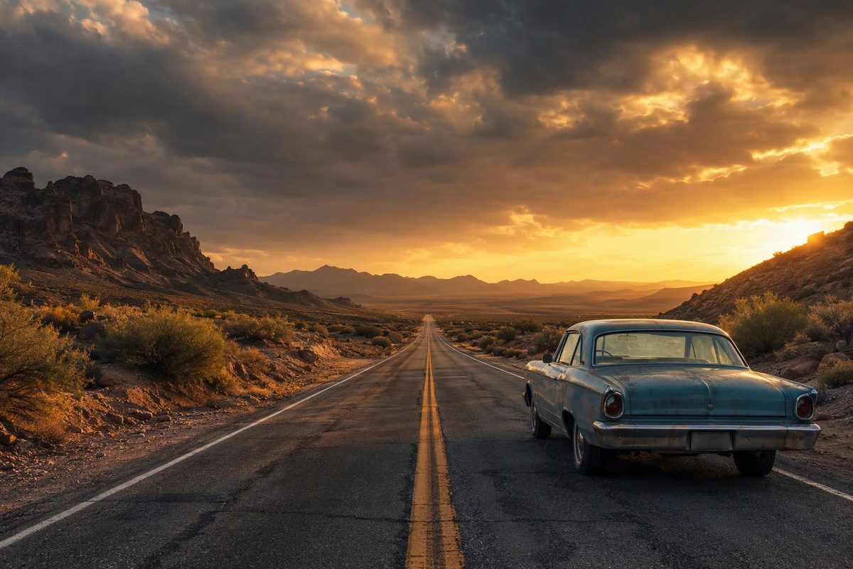
Route 66 is not one continuous signed highway. It was decommissioned in 1985, and its historic path now uses city streets, frontage roads, state highways, county roads and occasional interstate sections. It also changed alignment several times. The National Park Service describes a roughly 2,400-mile corridor with multiple alignments rather than one road a navigation app can follow end to end (NPS).
This itinerary uses 12 days from Chicago to Santa Monica. That is a brisk but workable pace when the road itself is the focus; 14–16 days leaves more time for museums, town centers and unplanned delays. With only seven or eight days, expect to use I-55, I-44 and I-40 frequently and pass many old-road stops.
Route: Chicago, Illinois, to Santa Monica, California Distance: About 2,400–2,500 miles, depending on alignments and detours Itinerary length: 12 days More comfortable pace: 14–16 days States: Illinois, Missouri, Kansas, Oklahoma, Texas, New Mexico, Arizona and California Useful travel windows: Late spring and early fall, with daily weather checks Vehicle: A normal passenger car suits the paved, open alignments used here
A workable 12-day itinerary
Mileage and wheel-time figures are planning estimates, not turn-by-turn totals. The alignment chosen within each state, urban traffic and current closures will change them. “Wheel time” excludes meals, museums, photographs and walks; most rows represent an eight- to ten-hour touring day once stops are added.
| Day | Leg | Approx. miles | Wheel time | Stops to prioritize |
|---|---|---|---|---|
| 1 | Chicago to Springfield, Illinois | 200 | 5–6 hr | Joliet, Pontiac, Atlanta |
| 2 | Springfield to St. Louis | 100 | 2.5–3 hr | Auburn brick road, Chain of Rocks area |
| 3 | St. Louis to Springfield, Missouri | 210–220 | 5–6 hr | Cuba, Devil’s Elbow, Lebanon |
| 4 | Springfield to Tulsa | 180–190 | 4.5–5.5 hr | Carthage, 13-mile Kansas section, Miami |
| 5 | Tulsa to Oklahoma City | 115–125 | 3–4 hr | Catoosa, Claremore, Chandler, Arcadia |
| 6 | Oklahoma City to Amarillo | 255–270 | 5.5–6.5 hr | Clinton or Elk City museum, Shamrock |
| 7 | Amarillo to Santa Fe | 290–310 | 6–7 hr | Cadillac Ranch, Adrian, Tucumcari |
| 8 | Santa Fe to Gallup via Albuquerque | 210–230 | 5–6 hr | Santa Fe, Albuquerque, Grants |
| 9 | Gallup to Flagstaff | 180–200 | 4–5 hr | Petrified Forest, Holbrook, Winslow |
| 10 | Flagstaff to Kingman | 170–185 | 4.5–5.5 hr | Williams, Seligman, Hackberry |
| 11 | Kingman to Barstow | 220–240 | 5.5–6.5 hr | Oatman if suitable, Needles, legal sections near Amboy |
| 12 | Barstow to Santa Monica | 150–165 | 4–6 hr | Victorville, San Bernardino, Pasadena |
The first two days deliberately give Illinois more time. The Illinois Route 66 Scenic Byway’s planning tools cover stops and alternate alignments from Chicago to the Chain of Rocks Bridge, illustrating why the old road takes longer than I-55 (Illinois Route 66 Scenic Byway).
Missouri’s promoted corridor covers 317 miles between St. Louis and Joplin, so trying to continue from St. Louis into Oklahoma in one sightseeing day leaves little time off the road (Visit Missouri). Oklahoma also merits two days: the state tourism department identifies more than 400 miles of drivable Route 66 and major museums in Clinton, Elk City and Chandler (Travel Oklahoma). On a 12-day trip, choose one of those museums rather than trying to fit all three into transit days.
Make two alignment decisions before leaving
Santa Fe or the later New Mexico alignment
The original New Mexico route made a large northward swing from Santa Rosa through Santa Fe before turning south through Albuquerque. In 1937, Route 66 was shortened and moved onto a more direct east–west alignment through Albuquerque, reducing its New Mexico mileage from 506 to 399 miles, according to the National Park Service.
This itinerary uses the older Santa Fe route because it creates a coherent overnight stop, but it adds distance and elevation. If time is tight or winter weather affects northern New Mexico, continue from Tucumcari through Santa Rosa to Albuquerque instead. Check NMDOT travel information before choosing.
Oatman or the faster Arizona bypass
The older road between Kingman and Oatman is the more demanding choice. ADOT says U.S. 66 was moved away from Oatman in 1952 to replace the twisty, hazardous section with a safer alignment (ADOT). Use I-40 toward Needles if the driver dislikes tight mountain curves, darkness is approaching, weather is poor, or the vehicle is long or heavily loaded. Oatman is a daytime option, not an obligation.
Petrified Forest deserves more than a quick photograph. It is the only National Park System unit containing a section of Historic Route 66 (NPS). Allow several hours if you intend to drive through the park and make scenic or trail stops.
California currently requires a detour
Do not assume National Trails Highway is open as a through-route from Needles to Barstow. As of September 2026, San Bernardino County says the section from Cadiz Road to Mountain Springs Road remains closed. The corridor also has aging timber bridges, bridge work and weight restrictions, with some sections limited to vehicles under three tons (San Bernardino County Public Works).
Use I-40 around the closure and rejoin the old road only where access is confirmed. If visiting Amboy, verify which approach is open and expect backtracking rather than assuming you can continue through on National Trails Highway.
Caltrans alone is not enough for this leg because parts of old Route 66 are county roads. Check the county closure page as well as Caltrans QuickMap, which displays incidents, active lane closures, cameras and chain controls.
Choose the season for the entire corridor
No month guarantees ideal conditions across all eight states.
- Late April through May: Often workable, but retain flexibility for Plains thunderstorms and late high-elevation snow.
- September through mid-October: Usually a useful compromise between Midwest heat and the onset of winter conditions in New Mexico and northern Arizona.
- Summer: Feasible, but the Mojave section calls for an early start, dependable air conditioning and ample drinking water. Avoid turning a photo stop into prolonged roadside exposure.
- Winter: Snow or ice can affect Illinois, the Missouri Ozarks, northern New Mexico and the Flagstaff area. Plan interstate alternatives instead of committing to every historic segment.
The Federal Highway Administration links to each state’s official traffic and closure service (FHWA). Check the next day’s entire leg each evening, then refresh conditions before departure. When a closure conflicts with a saved route, follow the road agency rather than trying to force the historic alignment—the same evidence-first approach used for any road-trip route deviation.
Navigation, fuel and overnight planning
Carry a current Route 66 state map or guide in addition to phone navigation. A generic app usually optimizes for speed and repeatedly pushes the car back onto the interstate. Build each day from intermediate towns or waypoints rather than entering only that night’s hotel. Download offline maps before remote sections of New Mexico, Arizona and the Mojave.
Refuel in established towns and start looking for fuel when the tank reaches half full in the western states. A historic filling-station building is not necessarily an operating station, and small-town hours can change. Begin the Kingman–Barstow leg with a full tank, drinking water and a usable spare tire or tire-repair plan.
Reserve city hotels and any scarce historic properties in advance, but keep flexibility elsewhere. A closure, storm or long museum visit can shift the next overnight. The broader road-trip planning framework is useful here: set a daily driving ceiling, identify a faster parallel route and decide which stops can be dropped.
At the western end, the historic terminus is Lincoln and Olympic Boulevards, not Santa Monica Pier. The “End of the Trail” sign at the pier is a symbolic finish installed in 2009 (Santa Monica Travel & Tourism). Visit both if the distinction matters; the pier remains the easier place for a finish-line photograph.