
Drive Route 66 Without Rushing the Historic Road
Build a realistic 16-day Route 66 road trip with daily mileage, alignment choices, Oatman limits, seasonal hazards, and live closure checks.
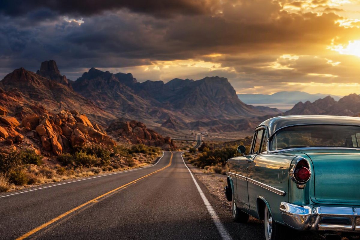
A Highway 66 road trip—more commonly called a Route 66 road trip—needs at least 14 days for selected highlights and works better with 16–21 days. Plan it as roughly 2,400 miles of historic streets, frontage roads and state or county highways linked by interstate bypasses, not as one continuous highway between Chicago and Santa Monica.
Route 66 was replaced by five interstates in stages and officially decommissioned in 1985. Some surviving alignments are paved and signed; others are rough, abandoned or closed. A navigation app pointed directly at Santa Monica will usually favor the fastest modern highways rather than the historic corridor (National Park Service).
Enter your available days and vehicle type to check the workable trip scope.
Route 66 Trip-Scope Check
Use total calendar days, including rest days and city stays.
Planning Result
A 16-day full-corridor trip is workable.
Overall mileage average: ~150 miles per calendar day
Santa Fe: Not included; follow the practical post-1937 route through Albuquerque.
Oatman: Possible in a passenger car if current conditions, the vehicle and driver are suitable.
See the evidence behind the result
| Available Time | Workable Scope | Pacing Note |
|---|---|---|
| 10–12 days | Choose one section | The full corridor leaves little sightseeing time. |
| 14–15 days | Selected full-route highlights | Move frequently and limit stops. |
| 16–21 days | Full corridor | The recommended planning range. |
Source note: Figures and limits come from the article’s NPS, BLM, Arizona DOT and county-road guidance. The mileage average divides the historic ~2,400 miles by the entered calendar days.
Sixteen Days Balances Driving and Stops
The customary touring endpoints are Chicago, Illinois, and Santa Monica, California. The route crosses Illinois, Missouri, Kansas, Oklahoma, Texas, New Mexico, Arizona and California.
The historic distance is about 2,400 miles, although the driven total changes with the alignments and detours selected. Budget roughly 45–55 hours behind the wheel before adding sightseeing, meals and urban traffic.
A normal passenger car works for the paved, legally open roads used in this itinerary. That does not mean every surviving Route 66 trace is suitable for a standard car.
| Planning Measure | Workable Range |
|---|---|
| Minimum useful time | 14 days for selected highlights |
| Better trip length | 16–21 days |
| Typical moving day | 120–220 miles |
| Typical driving time | 3–5 hours, with one longer Panhandle leg |
| Main surface | Paved roads, with interstate bypasses as needed |
Route 66 marks its centennial in 2026, with events scheduled along the corridor. Check the NPS Route 66 centennial page, then confirm lodging availability and attraction hours directly.
A Workable 16-Day Westbound Itinerary
Mileage is approximate because signed and historic alignments differ. Treat each figure as a planning range rather than an odometer promise.
| Day | Overnight | Approx. Miles | What Fits Without Rushing |
|---|---|---|---|
| 1 | Springfield, IL | 200 | Start at Grant Park on Adams Street, which Chicago identifies as the beginning of Historic Route 66. Choose two or three Illinois stops rather than every marker (City of Chicago). |
| 2 | St. Louis, MO | 100 | Finish Springfield sightseeing, follow selected old-road sections south and leave time for St. Louis traffic. |
| 3 | Springfield, MO | 215 | Cross the Ozarks with planned stops around Cuba, Lebanon or another town. Curves and town streets make this slower than an interstate leg. |
| 4 | Tulsa, OK | 180–200 | Pass through the short Kansas section, then enter northeast Oklahoma through Miami and Vinita. |
| 5 | Tulsa, OK | 0–50 | Use a non-transfer day for Tulsa and nearby sites rather than changing hotels for 16 consecutive days. |
| 6 | Oklahoma City, OK | 120 | Follow the old road through communities such as Chandler and Arcadia. |
| 7 | Amarillo, TX | 260 | Make Clinton or Elk City the main museum stop before continuing across the Panhandle. This is the longest scheduled transfer. |
| 8 | Tucumcari, NM | 115 | Stop at Cadillac Ranch before leaving Amarillo, then use the short transfer to explore Tucumcari. |
| 9 | Albuquerque, NM | 175 | Take the practical post-1937 route through Santa Rosa. Add a separate day if the earlier Santa Fe alignment matters to you. |
| 10 | Albuquerque, NM | 0–30 | Keep a second night for Central Avenue, museums and a break from packing. |
| 11 | Gallup, NM | 140 | Allow time for Grants and the Continental Divide area rather than treating Gallup only as a bed stop. |
| 12 | Flagstaff, AZ | 185–215 | Make Petrified Forest the main stop. The park’s 28-mile road takes about an hour without walks or overlooks (NPS). |
| 13 | Kingman, AZ | 150–180 | Follow the preserved road through Williams, Seligman and Peach Springs. Arizona reports 158 unbroken Route 66 miles between Topock and Crookton Road near Ash Fork (Arizona DOT). |
| 14 | Needles, CA | 65–90 | Drive through Oatman only if the vehicle, weather and driver suit a steep, winding road. Otherwise, use I-40 around the Black Mountains. |
| 15 | Barstow, CA | 145 | Use I-40 around the closed Cadiz Road–Mountain Springs Road portion of National Trails Highway. Visit only historic sections that are legally open. |
| 16 | Santa Monica, CA | 130 | Allow most of the day. San Bernardino, Pasadena and Los Angeles traffic can turn modest mileage into a long finish. |
As of September 28, 2026, San Bernardino County says National Trails Highway remains closed from Cadiz Road to Mountain Springs Road. It also warns that bridge work will cause further closures and that some sections are restricted to vehicles under three tons (San Bernardino County Public Works). Do not treat old Route 66 as an automatic I-40 detour through the Mojave.
This schedule is selective rather than exhaustive. With only 10–12 days, driving the entire corridor leaves little time for the places that distinguish it from I-40. Choose one section instead: Chicago to Oklahoma City, Albuquerque to Santa Monica, or Arizona and the Mojave.
With three weeks, add nights in St. Louis, Oklahoma City, Santa Fe, Flagstaff or Los Angeles. Santa Fe needs a genuine extra day. New Mexico’s original route made a large north–south loop, while the 1937 realignment ran directly through Albuquerque and reduced the state’s Route 66 mileage from 506 to 399 miles (NPS).
Choose Driveable Alignments Instead of Every Old Trace
“Historic Route 66” can refer to roads used in different decades. Some are signed city streets, some are frontage roads, and others end at rough surfaces or abandoned sections.
Use the NPS interactive Route 66 map to understand the corridor, then construct each day with specific towns and junctions as waypoints. Save the resulting maps offline. Historic shields can confirm the route, but signing is not consistent enough to serve as the only navigation method.
Apply four rules when selecting roads:
- Favor paved, legally open historic alignments.
- Use the interstate where the old road disappears, closes or becomes rough.
- Treat unpaved variants as optional excursions rather than required parts of an authentic trip.
- Turn around at gates, washouts and doubtful crossings instead of following an old map through.
The distinction is particularly important in eastern New Mexico. The NPS describes the Glenrio–San Jon trace as dirt beyond the pavement and warns that the Cuervo–NM 156 section is very rough, with washouts and potholes. It recommends high clearance there and identifies maintained frontage-road alternatives nearby.
A standard-car itinerary should stay on maintained roads unless current local information confirms that another alignment is open and suitable.
Oatman Requires a Vehicle Decision
The Kingman–Oatman–Topock road is paved, but it is not a routine RV transfer. The 42-mile federal backcountry byway has hairpin curves, steep grades and posted speeds of 20–45 mph. Vehicles over 40 feet are prohibited over Sitgreaves Pass, and the Bureau of Land Management advises drivers of wider vehicles, including RVs, to use caution (BLM).
Use I-40 between Kingman and the Colorado River if you have a long RV, a trailer combination, a vehicle with cooling problems or a driver uncomfortable with exposed mountain curves. The bypass gives up the Oatman segment but avoids making it a forced test of the vehicle or driver.
Passenger-car drivers should begin the byway with adequate fuel and water. BLM says there is no drinking water on the byway and identifies the nearest fuel in Kingman, Golden Valley, Bullhead City and Fort Mohave.
Shoulder Seasons Offer the Best Compromise
Late April through May and late September through October generally offer the most workable compromise, but no month produces the same conditions across all eight states.
Summer: Expect heat and humidity in the central states and potentially extreme heat in the Mojave. Cross remote desert legs early and stop if the vehicle displays an overheating warning.
Winter: Snow or ice can affect Illinois, the Missouri Ozarks, the Texas Panhandle and higher country around Flagstaff and the Continental Divide.
Spring: Leave schedule margin for thunderstorms, hail and severe-weather detours in the central states.
Late summer: Desert storms can cause flash floods and road damage. BLM lists flash flooding among the hazards on the Oatman byway, while San Bernardino County says flooding has repeatedly damaged National Trails Highway bridges.
Before each travel day, check the appropriate state road agency rather than relying only on a forecast or routing app. The Federal Highway Administration links to official traffic and closure systems for all eight Route 66 states (FHWA).
County notices also matter because many historic alignments are no longer state highways. A clear report for California SR 66 does not establish that county-maintained National Trails Highway is open.
Fuel and Opening Hours Shape Each Day
Fuel is readily available near the interstates and in larger Route 66 towns, but a historic alignment may leave those services behind. In rural New Mexico, western Arizona and the Mojave, refill before beginning a long old-road segment and identify the next open station while you still have service.
Many Route 66 attractions are small operations with limited opening days or early closing times. Check hours directly a few days before arrival and again that morning. Build the day around one priority stop and treat the rest as optional.
Before leaving Chicago, complete a tire and roadside-gear check, including the spare or inflator arrangement supplied with the car. Carry drinking water, a charging cable, offline maps, a flashlight and the tools needed to use the spare. For reservations, costs and daily pacing beyond this corridor, use the broader road-trip planning process.
The workable route leaves time for historic road and bypassed towns while shifting to maintained pavement whenever closures, weather or vehicle limits demand it.