
Route 66 Runs From Chicago to Santa Monica—But It Has Several Endpoint Markers
Route 66 runs from Chicago to Santa Monica. Find the original, signed and ceremonial endpoints—and the right markers for starting your drive.
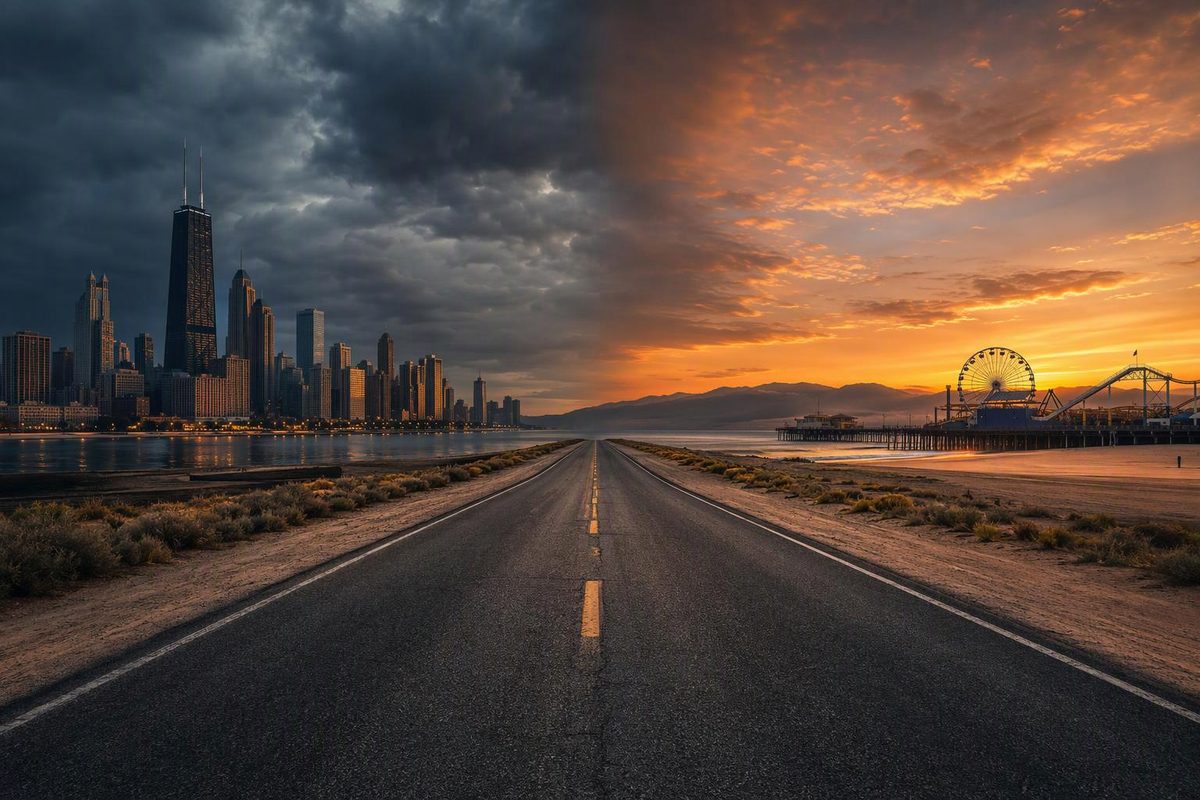
Route 66 runs from Chicago, Illinois, to Santa Monica, California. The historic route is commonly described as about 2,400 miles long and crosses eight states: Illinois, Missouri, Kansas, Oklahoma, Texas, New Mexico, Arizona and California.
The endpoints require some explanation because the alignment changed during the highway’s lifetime, U.S. 66 was decommissioned in 1985, and both cities now have ceremonial signs away from the former federal termini.
Route 66 start: Chicago
For a present-day road trip, use the “Begin Historic Route 66” marker near Adams Street and Michigan Avenue, across from the Art Institute of Chicago. Choose Chicago lists it at 122 S. Michigan Ave.; from there, the westbound city alignment follows Adams Street toward Ogden Avenue (Choose Chicago). The City of Chicago also identifies Grant Park on Adams Street as the start of Historic Route 66 (City of Chicago).
That is not quite the original 1926 location. Route 66 initially began at Jackson Boulevard and Michigan Avenue. The recognized westbound start later moved to Adams and Michigan as Chicago’s downtown traffic pattern changed (Choose Chicago).
Chicago added another marker for the 2026 centennial: Navy Pier is now the route’s symbolic ceremonial start. Its “Road Starts Here” sign creates a pier-to-pier concept with Santa Monica, but it does not replace the historic street alignment (Navy Pier).
Use the Chicago locations this way:
- Original 1926 terminus: Jackson Boulevard and Michigan Avenue
- Practical signed start for a westbound drive: Adams Street and Michigan Avenue
- Ceremonial start and photo stop: Navy Pier
Route 66 end: Santa Monica
Route 66 originally ended in Los Angeles. On January 1, 1936, its designation was extended west to Lincoln Boulevard and Olympic Boulevard in Santa Monica, which became the highway’s official western terminus. Historical BEGIN and END markers remain on traffic-light poles at that junction (California Historic Route 66 Association).
The better-known “End of the Trail” sign on Santa Monica Pier is ceremonial, not the former federal highway endpoint. It was installed in 2009 and provides a much easier setting for an end-of-trip photograph. Santa Monica’s tourism organization says there is no suitable photo opportunity at the busy Lincoln and Olympic intersection (Santa Monica Travel & Tourism).
Use the Santa Monica locations this way:
- Former official western terminus: Lincoln and Olympic boulevards
- Ceremonial endpoint and practical photo stop: Santa Monica Pier
Why a navigation app cannot show one definitive Route 66
Route 66 entered the federal highway system in 1926, but its path changed repeatedly. I-55, I-44, I-40, I-15 and I-10 replaced it in stages; after I-40 bypassed the final section in 1984, U.S. 66 was officially decommissioned in 1985 (National Park Service).
There is therefore no continuous modern U.S. 66 highway. A Route 66 trip uses surviving city streets, state highways, frontage roads and older segments, while some former sections are abandoned or inaccessible. Total mileage varies with the alignments selected, so about 2,400 miles is more useful for initial planning than one supposedly exact figure.
You can drive in either direction, although Chicago to Santa Monica is the traditional orientation. Use an alignment-specific Route 66 map rather than asking a navigation app for the fastest route between the cities. For the full trip, compare this realistic 12-day Route 66 driving tour with the slower 16-day Highway 66 road-trip plan.