
Route 66 Starts in Chicago and Ends in Santa Monica—With One Endpoint Catch
Route 66 runs from Chicago to Santa Monica. Find the marked Chicago start, historical western terminus and symbolic Santa Monica Pier endpoint.
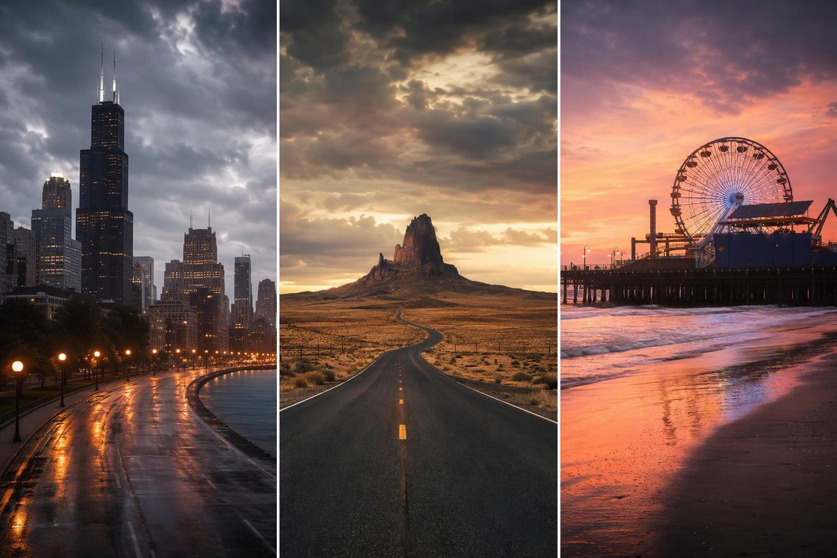
U.S. Route 66 runs from Chicago, Illinois, to Santa Monica, California. For a present-day westbound road trip, use these practical bookends:
- Marked Chicago start: Adams Street at Michigan Avenue, near 122 S. Michigan Ave.
- Later official western terminus: Lincoln Boulevard at Olympic Boulevard in Santa Monica
- Popular finish and photo stop: the “End of the Trail” sign on Santa Monica Pier
The distinction in Santa Monica matters: the pier is the ceremonial endpoint most travelers want, but the highway’s official terminus was at Lincoln and Olympic.
Route 66 endpoint stat block
| Route fact | Answer |
|---|---|
| Eastern endpoint | Chicago, Illinois |
| Western endpoint | Santa Monica, California |
| Marked westbound start | Adams Street and Michigan Avenue |
| Later official western terminus | Lincoln Boulevard and Olympic Boulevard |
| Symbolic finish | Santa Monica Pier |
| Traditional length | About 2,448 miles |
| States crossed | Illinois, Missouri, Kansas, Oklahoma, Texas, New Mexico, Arizona and California |
| Current status | Decommissioned as a U.S. Highway in 1985 |
The mileage is approximate because Route 66 followed multiple alignments over its lifetime. The Route 66 Centennial Commission gives the familiar eight-state route as about 2,448 miles, while the National Park Service describes a roughly 2,400-mile corridor with multiple alignments (Route 66 Centennial; National Park Service).
Where to begin in Chicago
For a modern westbound trip, go to the Begin Route 66 sign at Adams Street and Michigan Avenue, across from the Art Institute of Chicago. Illinois tourism guidance identifies this intersection as the road-trip starting point, while Choose Chicago gives the location as 122 S. Michigan Ave. (Enjoy Illinois; Choose Chicago).
From the sign, the westbound city route follows Adams Street before turning southwest toward Ogden Avenue. Do not expect a current federal US 66 shield to guide the entire trip.
Where to finish in Santa Monica
There are two useful answers in Santa Monica:
- Lincoln and Olympic Boulevards was the later official terminus, where Route 66 met U.S. 101 Alternate.
- Santa Monica Pier is the symbolic endpoint and the better place for a finish-line photograph.
The “End of the Trail” sign on the pier was installed in 2009. Santa Monica Travel & Tourism identifies Lincoln and Olympic as the historical official terminus and the pier as the symbolic finish (Santa Monica Travel & Tourism).
A practical final leg is therefore to pass the historical terminus at Lincoln and Olympic, then continue to the pier. Treat the pier as an additional destination rather than assuming the old highway itself ran onto it.
Why some sources say Route 66 ends in Los Angeles
When Route 66 was established in 1926, it connected Chicago with Los Angeles. In 1935, it was formally extended west to Santa Monica. That change explains why historical accounts may use either Los Angeles or Santa Monica as the western endpoint; for the later, best-known alignment and a present-day road trip, Santa Monica is the standard answer (National Park Service; Santa Monica Travel & Tourism).
Route 66 is no longer one active highway
Route 66 was progressively replaced by I-55, I-44, I-40, I-15 and I-10, then officially decommissioned in 1985. Surviving portions now carry a mix of Historic Route 66 signs, local street names and state or county road numbers (National Park Service).
You can still make the Chicago-to-Santa Monica journey, but you cannot follow one continuously designated U.S. highway from end to end. Use a Route 66-specific map to choose among historic alignments and reconnect on modern roads where old sections have been bypassed, closed or removed. For a complete schedule, use either the realistic 12-day Route 66 plan or the slower 16-day Route 66 road trip.