
US-151 Connects Iowa to Wisconsin Through Mixed Roads
The route runs from I-80 near Williamsburg, Iowa, to Manitowoc, Wisconsin. Drivers encounter rural highway, expressway, freeway and urban streets.
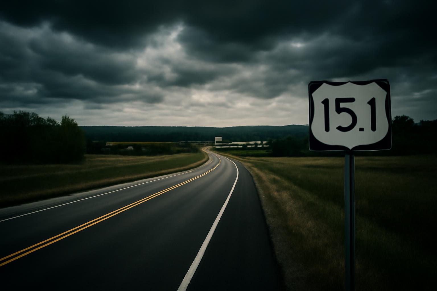
US Highway 151 is a roughly 324-mile U.S. route running northeast from Interstate 80 near Williamsburg, Iowa, through Cedar Rapids, Dubuque, Madison, and Fond du Lac to Manitowoc, Wisconsin. It is an important two-state corridor, but it is not one uniform freeway: drivers encounter rural highway, expressway, freeway, shared-route, and urban-street segments.
This guide is a trip-planning overview, not turn-by-turn navigation. Route alignments, construction, incidents, and weather restrictions can change. Before leaving, check Iowa 511 and 511 Wisconsin, then follow posted signs and traffic-control directions.
US 151 at a glance
- States: Iowa and Wisconsin
- South end: I-80 at exit 225 in Iowa County, near Williamsburg and the Amana Colonies
- North end: Manitowoc, Wisconsin, at the I-43/WIS 42 area
- Principal cities and communities: Cedar Rapids, Anamosa, Monticello, Cascade, Dubuque, Platteville, Dodgeville, Madison, Sun Prairie, Columbus, Beaver Dam, Waupun, Fond du Lac, Chilton, and Manitowoc
- Major connections: I-80, US 6, US 30, I-380, US 20, US 52, US 61, US 18, US 12, US 14, US 51, I-39/I-90/I-94, I-41, and I-43
- Tolls: US 151 is not shown as a toll road on the current official Iowa and Wisconsin highway maps. A trip can still involve fees if a driver leaves the route for a tolled facility elsewhere.
The Iowa DOT transportation map and WisDOT’s official highway-map collection are the best official references for the route at statewide scale. The detailed route summary and junction list are also documented in the researched US 151 route overview.
Iowa: I-80 to the Mississippi River
I-80 to Cedar Rapids
US 151 begins at I-80 exit 225 in rural Iowa County. It heads north toward the Amana Colonies, briefly sharing pavement with US 6 near Homestead. The route continues through the Amana area, Walford, and Fairfax before reaching Cedar Rapids.
This first portion should not be treated as a continuous Interstate-style freeway. Expect a mix of divided and undivided roadway, intersections, local access, and changing speed limits. In Cedar Rapids, US 151 connects with US 30 and I-380. The route shares US 30 for part of its passage through the city, while local and business-route signs serve surface-street destinations.
Iowa DOT’s primary route descriptions place US 151 in Iowa, Linn, Jones, and Dubuque county route records. Those legal descriptions are authoritative for state-maintained alignment, while the state map is easier for practical trip planning.
Cedar Rapids to Dubuque
Northeast of Cedar Rapids, US 151 is primarily a high-speed divided corridor toward Anamosa, Monticello, Cascade, and Dubuque. “Expressway” does not always mean “freeway”: some stretches may include at-grade intersections or access points even where the road has two lanes in each direction. Watch signs rather than assuming every crossing is grade-separated.
Near Dubuque, US 151 joins US 61; US 52 also shares part of the approach. Important connections include US 20 in Dubuque and the US 61/151 crossing of the Mississippi River into Wisconsin. An Iowa DOT notice about the 2026 US 20 bridge project identifies the US 61/151 Iowa-Wisconsin Bridge as part of the planned detour network, which is a useful reminder that construction elsewhere in Dubuque can shift traffic onto this crossing.
Wisconsin: Dubuque area to Manitowoc
Mississippi River to Madison
US 61/151 enters Wisconsin near Kieler and Dickeyville. US 151 then separates and runs northeast toward Platteville, Mineral Point, and Dodgeville. Near Dodgeville it joins US 18, and US 18/151 continues through the Mount Horeb and Verona corridor into Madison.
Road character varies through southwestern Wisconsin. Some bypasses and divided sections have interchange-style access, while other locations retain at-grade intersections. The landscape is also hillier than much of the Iowa portion. Allow extra following distance in poor visibility and do not rely on a statewide map to identify every access point.
In the Madison area, US 151 is especially easy to misunderstand as a single freeway. It approaches with US 18, uses part of the Beltline with other U.S. routes, then follows urban streets through Madison before continuing northeast on East Washington Avenue. It reaches I-39/I-90/I-94 and becomes a higher-speed corridor again toward Sun Prairie. A current WisDOT US 151 project page describes the segment from the Interstate interchange to Main Street in Sun Prairie, confirming this key connection and the corridor’s mixed urban context.
Madison to Fond du Lac
From Sun Prairie, US 151 runs through or around Columbus, Beaver Dam, Waupun, and Fond du Lac. Much of this section is divided, but the access pattern changes. Freeway sections, expressway sections with crossroads, and bypasses appear along the same numbered route.
WisDOT describes US 151 as a backbone route connecting Wisconsin population and economic centers. Its Columbus-to-Waupun study is evaluating long-term safety and access improvements between WIS 73 and WIS 49, ranging from spot changes to possible freeway conversion. That study is planning information, not proof of a present closure or of a completed freeway. Drivers should use 511 Wisconsin for current work-zone and incident details.
At Fond du Lac, US 151 connects with I-41 and WIS 23 while bypassing the city’s south and east sides. The official Fond du Lac County trunk-highway map distinguishes freeway and expressway classifications and shows why drivers should expect different intersection types around the bypass.
Fond du Lac to Manitowoc
North and east of Fond du Lac, the route becomes more of a conventional surface highway. It follows the east side of Lake Winnebago for part of the trip, turns east through the Chilton area, and continues across rural Calumet and Manitowoc counties. Compared with the divided corridor south of Fond du Lac, this portion includes more two-lane roadway, local access, and town traffic.
US 151 reaches Manitowoc and its northern terminus in the I-43/WIS 42 area. Drivers continuing toward Green Bay or Milwaukee can connect with I-43; local signs serve Manitowoc destinations and Lake Michigan access. Confirm the final miles on the current WisDOT map because city routing and project traffic controls can be more detailed than a route overview.
How to plan a US 151 trip
- Check both state systems. Iowa 511 covers near-real-time incidents, construction, closures, winter conditions, speeds, and cameras on Iowa Interstates, U.S. routes, and state highways. Wisconsin’s official 511 map covers its side of the corridor but warns that routing may not include every closure or event.
- Separate the trip into corridor changes. Useful checkpoints are Cedar Rapids, Dubuque, Madison, Fond du Lac, and Manitowoc. These are also where major junctions or road character change.
- Do not assume divided means fully controlled access. At-grade intersections can occur on expressway sections. Stay alert for crossing traffic and posted speed reductions.
- Expect urban navigation in Madison. US 151 uses city streets as well as the Beltline area. Follow route shields and current navigation rather than assuming the highway continues straight.
- Plan weather margins. Iowa and Wisconsin can have snow, ice, fog, thunderstorms, and strong crosswinds. Conditions can differ substantially across a trip of this length.
- Check vehicle-specific restrictions. Oversize, overweight, agricultural, or commercial vehicles should consult the appropriate state DOT resources; a general route guide cannot establish permit clearance.
Roadside and emergency safety
If debris, a fallen tree, a crash, or another obstruction is creating an immediate traffic danger, move to a safe location and contact 911. For a non-emergency road issue, use the applicable state or local road authority. Do not walk into an active lane, stop beneath a damaged tree, or attempt to inspect, cut, or move a hazardous tree yourself. Tree assessment and removal belong with the road authority, emergency responders, utilities, or a qualified tree professional.
Never stop on a shoulder merely to study a junction or take a photograph. Continue to a legal parking area, rest area, or safe public lot. Live DOT information and posted traffic controls always take priority over this planning guide.
Bottom line
US Highway 151 is a direct Iowa-to-Wisconsin corridor linking I-80 with Cedar Rapids, Dubuque, Madison, Fond du Lac, and Manitowoc. Its usefulness comes with one important planning rule: expect the roadway type to change. Check Iowa 511 and 511 Wisconsin before departure, pay attention at expressway intersections and through Madison, and use official maps for the current alignment.