
16 Route 66 Landmarks Worth Building Into Your Drive
Plan a Route 66 drive around 16 historic, scenic and roadside landmarks, with realistic stop times, access notes and schedule tradeoffs.
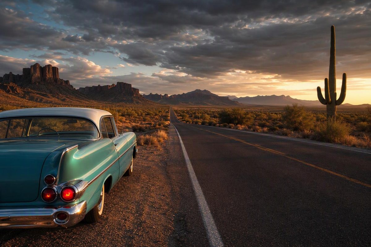
The most useful Route 66 landmark list includes more than roadside sculptures. Historic bridges, operating motor courts, neon districts, desert landscapes and endpoint markers all help explain the road.
Route 66 was removed from the U.S. Highway System in 1985, and today’s trip follows surviving alignments beside modern streets and interstates. The National Park Service counts more than 250 Route 66 buildings, bridges, road alignments and other sites on the National Register of Historic Places (NPS). These 16 stops are a manageable set of anchors, listed east to west.
The times below are planning allowances, not published opening hours.
| Landmark | Location | Allow | Best reason to stop |
|---|---|---|---|
| Route 66 Begin sign | Chicago, Illinois | 15–30 min | Traditional eastern starting point |
| Old Chain of Rocks Bridge | Illinois–Missouri border | 45–90 min | Walk onto the unusual Mississippi crossing |
| Route 66 State Park | Eureka, Missouri | 45–75 min | Compact introduction to the road’s history |
| Rainbow Bridge | Near Riverton, Kansas | 15–30 min | Surviving Marsh arch bridge |
| Blue Whale | Catoosa, Oklahoma | 20–40 min | Classic roadside attraction |
| Round Barn | Arcadia, Oklahoma | 30–45 min | Restored 1898 barn and small museum |
| Tower Station and U-Drop Inn | Shamrock, Texas | 20–40 min | Restored Art Deco service station |
| Cadillac Ranch | Amarillo, Texas | 30–45 min | Public roadside art installation |
| Blue Swallow Motel | Tucumcari, New Mexico | 15–30 min or overnight | Historic motor court and neon |
| Central Avenue | Albuquerque, New Mexico | 1–2 hr | Urban Route 66 architecture and signs |
| Petrified Forest National Park | Arizona | 3–5 hr | Route history in a major desert landscape |
| Wigwam Motel | Holbrook, Arizona | 15–30 min or overnight | Operating concrete-teepee motor court |
| Seligman | Arizona | 45–90 min | Concentrated small-town Route 66 streetscape |
| Sitgreaves Pass and Oatman | Arizona | 2–3 hr | Mountain alignment and former mining town |
| Roy’s Motel & Café | Amboy, California | 20–40 min | Mojave Desert Googie sign |
| Santa Monica Pier sign | Santa Monica, California | 1–2 hr | Ceremonial western finish |
Illinois and Missouri
Route 66 Begin sign, Chicago
The traditional start is on Adams Street beside Grant Park, in front of the Art Institute of Chicago. The city identifies this location as the beginning of Historic Route 66 (City of Chicago). The marker itself is a quick photo stop; downtown traffic and parking are likely to take longer.
Several original, signed and ceremonial endpoints exist. Check the Route 66 start and end markers if you want to navigate to a particular interpretation.
Old Chain of Rocks Bridge
This mile-long Mississippi River bridge has a 30-degree turn near its middle. Route 66 used it beginning in 1936, and the bridge closed to vehicles in 1968. It is now open daily to pedestrians and cyclists. The NPS lists parking at the Illinois entrance and North Riverfront Park and notes that a gated parking area opened on the Missouri side in 2024 (NPS).
Allow at least 45 minutes if you want to walk far enough to reach the bend. Check current gate information before making the detour.
Route 66 State Park, Eureka
The visitor center occupies the former Bridgehead Inn, a 1935 roadhouse that stood on the original highway. Its displays provide a useful overview before the trip reaches the smaller roadside properties farther west (Missouri State Parks). Check visitor-center hours separately from general park hours.
Kansas and Oklahoma
Rainbow Bridge, Kansas
Kansas’s official Route 66 Historic Byway is only 13 miles long. It passes through Galena, Riverton and Baxter Springs, with the Marsh arch Rainbow Bridge as its signature structure (Kansas Tourism).
The bridge alone needs little time, but allow one to two hours if you also want to stop in the three communities.
Blue Whale and Round Barn, Oklahoma
The Blue Whale in Catoosa is an 80-foot-long, 20-foot-tall concrete attraction built in the early 1970s. Visitors can walk inside and picnic beside the pond, but swimming is prohibited. Farther west, Arcadia’s Round Barn dates to 1898 and was restored after its roof collapsed in 1988 (Travel Oklahoma).
Both work as short breaks. If the schedule permits only one, choose the Blue Whale for roadside art or the Round Barn for architecture and local history.
Texas and New Mexico
Tower Station and U-Drop Inn, Shamrock
Built in 1936, this former Conoco station and café is one of the road’s strongest Art Deco landmarks. The restored building now serves as a visitor center, chamber of commerce office and community center (NPS). Arrive during staffed hours if seeing the interior matters.
Cadillac Ranch, Amarillo
Ten partly buried, paint-covered Cadillacs stand in a field west of Amarillo. The official visitor listing places the entrance on the south access road of I-40, just east of the Arnot Road exit, and says the installation is free and open around the clock (Visit Amarillo).
The walk is short, but the field can become muddy. Allow extra time after rain, park without obstructing the access road and use the provided dumpsters rather than leaving paint cans behind.
Blue Swallow Motel, Tucumcari
The Blue Swallow remains an operating motel, not a preserved façade. Its 14-unit motor-court layout includes garage units, and its restored neon makes dusk or an overnight stay more rewarding than a midday photo. The property has been on the National Register since 1993 (NPS). Respect guest areas if you are not staying.
Central Avenue, Albuquerque
Albuquerque is a district stop rather than one object. Central Avenue provides a useful concentration of theaters, signs and surviving roadside architecture, while the city’s earlier and later Route 66 alignments cross downtown. New Mexico’s tourism office explains the alignment history and identifies landmarks along both versions of the road (New Mexico Tourism).
Park once and explore a compact section on foot where practical. Repeatedly stopping along the full urban corridor can consume far more time than the drive itself.
Arizona
Petrified Forest National Park
Do not reduce this to a quick Route 66 marker photograph. Petrified Forest is the only National Park System unit containing a section of Historic Route 66; old roadbed and telephone poles mark the alignment (NPS). The park road, Painted Desert overlooks and short trails can readily fill half a day.
The park is not a 24-hour through-route. Check current hours and seasonal information before arrival.
Wigwam Motel, Holbrook
Wigwam Village Motel No. 6 consists of 15 concrete-and-steel teepees built in 1950, with vintage vehicles arranged around the property. It remains an operating motel and has been listed on the National Register since 2002 (NPS). Book ahead to stay; otherwise, keep an exterior visit brief.
Seligman, Sitgreaves Pass and Oatman
Seligman works well as a meal stop or overnight base before the preserved alignment toward Kingman. Arizona’s tourism office describes Seligman–Kingman as the longest contiguous drivable stretch of Route 66. West of Kingman, the road climbs the curving Sitgreaves Pass through Cool Springs before descending to Oatman, where feral burros roam the main street (Visit Arizona).
Do not treat the Oatman road as a fast alternative to I-40. The pass calls for unhurried driving, and Oatman adds pedestrian and animal traffic. Drivers with long RVs or trailers should assess the alignment and current conditions before committing. The 16-day Route 66 plan covers this choice in more detail.
California
Roy’s Motel & Café, Amboy
Roy’s combines a mid-century Googie sign, low motel buildings and a service station against the Mojave Desert. The site advertises gas, refreshments and souvenirs, but its restoration plans mean the old motel should not be assumed to provide lodging (Roy’s Motel & Café).
Do not make Roy’s your only fuel plan. National Trails Highway includes remote segments and aging bridges; San Bernardino County has an active project to replace three timber bridges near Amboy. Check the county’s current road-closure map before choosing an old-road segment.
Santa Monica Pier “End of the Trail” sign
The pier sign is the ceremonial finish, not the technical historic endpoint. Santa Monica identifies Lincoln and Olympic boulevards as the technical endpoint and says the pier was dedicated as the traditional end in 2009 (Santa Monica Travel & Tourism).
Allow for coastal traffic and parking. Visit Lincoln and Olympic only if endpoint history matters to you; the pier provides the clearer finish for most trips.
Keep the stops from taking over the drive
Plan on two major stops or three short stops per driving day. A nominal 20-minute photo stop can use 40 minutes after leaving the route, parking and rejoining traffic. A museum, meal or downtown walk can take 90 minutes or more.
For a first trip, reserve longer blocks for Petrified Forest, Albuquerque and the Sitgreaves Pass–Oatman alignment. Use the signs, bridges, motels and roadside sculptures as short breaks. A 12-day Route 66 driving tour requires sharper choices; the 16-day version leaves more room for historic alignments.
Before each day, verify attraction hours, weather, park access and road closures. Keep the interstate available as a fallback: Historic Route 66 is an alignment-by-alignment drive, and not every old section remains open or suitable for every vehicle.