
California State Route 58
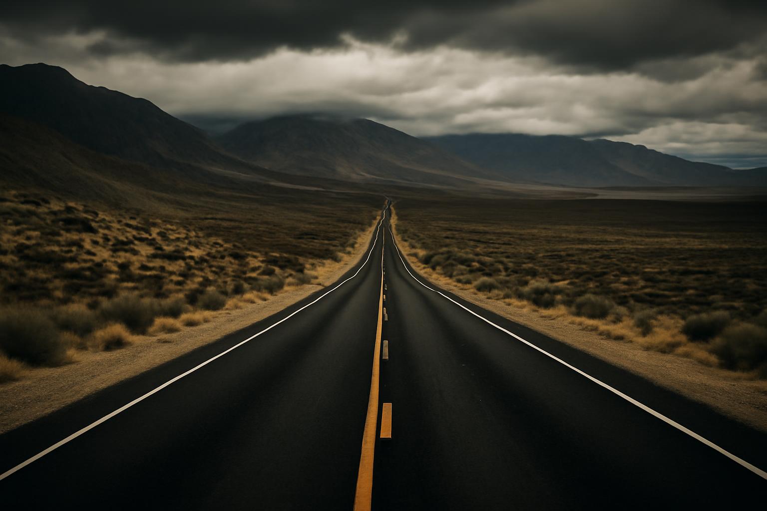
Its character shifts from a coastal-range backroad to a valley crossing and city driving, then to a mountain pass and long desert highway.
California State Route 58
Overview
California State Route 58 (SR 58) is a major east–west state highway that runs between U.S. Route 101 near Santa Margarita, close to the Central Coast, and Interstate 15 in Barstow in the Mojave Desert. Along the way it crosses the Coast Ranges, the southern San Joaquin Valley, and the Tehachapi and Mojave country, according to both Wikipedia and the AARoads Wiki.
Because the route covers such varied terrain, you will see it referenced under several names — Highway 58, SR 58, Route 58, California 58, and named segments used on local maps. They all refer to the same corridor. This guide explains the route in plain language: where it runs, what it connects, why it carries multiple names, and how to use that stable knowledge when deciding whether it fits a trip. Live details such as closures and construction always require a current check before you drive.
Route at a glance
The most important stable facts about SR 58 fit in a short summary. The route is defined by its two endpoints and by the distinct regions it crosses between them. Its western terminus is at US 101 near Santa Margarita in San Luis Obispo County, and its eastern terminus is at I-15 in Barstow, per the route descriptions on Wikipedia and AARoads. That makes it one of the relatively few state highways that spans from near the coast all the way to the high desert.
At a high level, these are the identity facts most readers are looking for:
- Direction and role: a major east–west state highway across central and eastern California.
- Western end: US 101 near Santa Margarita, near the Central Coast.
- Eastern end: I-15 in Barstow, in the Mojave Desert.
- Terrain crossed: the Coast Ranges, the southern San Joaquin Valley, and the Tehachapi/Mojave region.
- Key city on the route: Bakersfield, the largest urban area SR 58 passes through.
One terminology note helps when reading other sources. California classifies portions of its state highways differently — some stretches are built as full freeways, others as expressways or conventional two-lane roads — and encyclopedic pages about SR 58 discuss these distinctions alongside technical markers like postmiles. For a general reader, the practical takeaway is simpler: SR 58 is not one uniform type of road from end to end. Its character changes with the landscape it crosses, which is why the west-to-east guide below is often more useful than a status table. Where the exact road type at a specific point matters for your trip, verify it on a current map rather than assuming freeway conditions throughout.
West-to-east route guide
Following SR 58 from west to east is the clearest way to understand what the route actually does. Official route descriptions tend to present junctions and technical details in dense reference form; a driver-order walkthrough makes the same geography easier to picture.
Broadly, the route falls into three parts. The western part begins at US 101 near Santa Margarita and works its way across the Coast Ranges — the quieter, more rural side of the corridor. The middle part crosses the southern San Joaquin Valley and passes through Bakersfield, where SR 58 meets the valley’s major north–south highways and where most of the route’s urban complexity is concentrated. The eastern part climbs through the Tehachapi area and then runs across the Mojave Desert through the towns of Mojave and Boron and past Kramer Junction before ending at I-15 in Barstow. Both Wikipedia and AARoads describe this same broad progression across the Coast Ranges, the southern San Joaquin Valley, and the desert.
Two things make this ordering useful for planning. First, it shows that the route’s character shifts dramatically: coastal-range backroad, then valley crossing and city driving, then mountain pass, then long desert highway. Second, it explains why different sources emphasize different segments — an encyclopedic page treats the whole route evenly, while a desert road-trip source like DesertUSA focuses almost entirely on the eastern half. The subsections below take each side in turn, staying with broad, supported geography rather than mile-by-mile detail. Exact distances between towns and the precise configuration of any single junction are the kind of specifics you should confirm on a current map when it matters.
Central Coast, Carrizo Plain, and Bakersfield approach
The western side of SR 58 begins at US 101 near Santa Margarita, close to the Central Coast in San Luis Obispo County, as noted by DesertUSA and the encyclopedic route pages. From there the highway heads east across the Coast Ranges, the band of hills and valleys separating the coast from the Central Valley.
This is the most rural portion of the corridor, and it passes through the general region associated with the Carrizo Plain — a name travelers often encounter when researching this stretch of central California. The practical point for a reader is orientation: the western half of SR 58 is backcountry driving through ranch and range country, not a high-speed freeway corridor.
Continuing east, the route descends into the southern San Joaquin Valley and approaches Bakersfield, where it transitions from rural highway to urban corridor. Bakersfield is where SR 58’s routing has been most actively reworked over the years — a topic covered in the history section below — so if you are following the route through the city, rely on current signage and mapping rather than older descriptions.
Tehachapi Pass, Mojave, Boron, Kramer Junction, and Barstow
East of Bakersfield, SR 58 climbs out of the valley through the Tehachapi area, the mountain gateway between the San Joaquin Valley and the Mojave Desert. Tehachapi Pass is the geographic feature most associated with this stretch, and the town of Tehachapi sits along the corridor. DesertUSA’s road-trip account describes the highway heading “north through the Tehachapi Mountains” on its western leg from the desert side, confirming the mountainous character of this segment (DesertUSA).
Once over the mountains, the route enters open desert. The town of Mojave is the first major waypoint on the desert floor, followed by Boron, a small community known for its association with the U.S. Borax Mine, and then Kramer Junction, a desert crossroads that DesertUSA highlights as a landmark point where Highway 58 meets north–south traffic. These three places — Mojave, Boron, Kramer Junction — are the names that make the eastern half of the route legible on a map.
From Kramer Junction, SR 58 continues east across the Mojave Desert to Barstow, where it ends at I-15. Barstow is a longtime desert transportation hub, and reaching I-15 there is what makes SR 58 relevant to travelers connecting central California with desert destinations. The desert segment is long and sparsely settled by nature, so treat services and conditions along it as something to verify before departure rather than assume.
Roadside stops and detours
The eastern half of SR 58 rewards travelers who enjoy roadside discovery, and one supplied travel source documents this firsthand. A DesertUSA writer describes taking off on a personal “journey of discovery, exploring Highway 58 and various points off the main road,” which captures the route’s appeal for desert road-trippers.
The specific places that account mentions include:
- Kramer Junction — the desert crossroads along the highway’s eastern half.
- Boron and the U.S. Borax Mine — a small town and the mining operation it is known for.
- Hawes Auxiliary Field Tower Site — a roadside historical site off the main road.
- A-1 wrecking yard — one of the offbeat roadside sights the DesertUSA account describes.
Treat this as a set of documented examples rather than a complete or current attractions list. Hours, access, and even the continued existence of small roadside sites change over time, and the supplied source is a travel account rather than a live directory. If a specific stop matters to your trip, confirm its current status before building your route around it. The broader takeaway is reliable, though: SR 58’s desert segment is the part of the route where detours and roadside history are a genuine draw, which is why travel writers focus on it.
Major connections and route names
SR 58’s value as a route comes largely from what it connects, and its multiple names come largely from its history. Both are worth decoding, because readers frequently encounter the same corridor described in different ways across maps, reference pages, and travel articles.
On connections: the route is anchored by US 101 at its western end near Santa Margarita and I-15 at its eastern end in Barstow, per Wikipedia and AARoads. Between those endpoints, reference pages for the route document major junctions with the north–south highways that SR 58 crosses on its way east — the corridors commonly associated with the route include I-5 and SR 99 in the San Joaquin Valley near Bakersfield, SR 14 in the Mojave area, and US 395 in the desert near Kramer Junction. In plain terms, SR 58 acts as an east–west connector stitched across California’s dominant north–south routes. This article deliberately does not reproduce full interchange or exit tables; for junction-level detail, the encyclopedic pages above maintain that data.
On names, these variants all refer to the same corridor:
- SR 58, State Route 58, Route 58, California 58 — formal and informal versions of the official designation.
- Highway 58 — the everyday name most travelers use, and the one travel sources like DesertUSA prefer.
- Named segments — stretches of the route carry local highway names on maps and in references, such as Barstow–Bakersfield Highway, Mojave–Barstow Highway, Rosedale Highway, and Bakersfield–Tehachapi Highway.
The named segments are the most confusing variant for newcomers, because they can make one continuous route look like several different roads. If you see one of these names on a map or in an older reference, check whether it aligns with the SR 58 corridor before concluding it is a separate highway. Within Bakersfield especially, historical renaming and rerouting mean that a street name and the current SR 58 alignment do not always match — a point the history section explains next.
History and current route context
SR 58’s history matters to a general reader mainly because it explains what you see on maps today: why the route carries several segment names, why its path through Bakersfield has changed, and why business loops appear in some desert towns. Both Wikipedia and AARoads devote substantial sections to the route’s history and evolution, and this article summarizes only the practical implications rather than the full chronology.
The broad pattern is common to many long California routes: a corridor assembled over time from older local highways, then progressively upgraded and rerouted. The named segments discussed above — such as the Barstow–Bakersfield Highway — are legacies of that assembly, reflecting the eras when stretches of today’s SR 58 were known primarily by the towns they connected. When an older map, sign, or article uses one of those names, it is usually describing a piece of the same corridor rather than a different road.
Rerouting and bypass development are the second practical legacy. As traffic grew, portions of the route were shifted onto newer alignments, and towns that once sat directly on the highway were bypassed. This is why business loops exist in several desert communities and why the routing through Bakersfield has been an ongoing project rather than a fixed line. For anyone comparing an older description of SR 58 against a current map, the safe assumption is that the endpoints and broad geography are stable, while specific alignments — especially in and around Bakersfield — may have changed. The two subsections below cover the pieces of this history most likely to affect a present-day reader: the Bakersfield corridor projects and the business loops.
Westside Parkway and Centennial Corridor
Westside Parkway and the Centennial Corridor are the names most associated with SR 58’s modern routing through Bakersfield, and both encyclopedic sources on the route treat them as significant parts of its story (Wikipedia, AARoads). In plain language, they refer to efforts to give SR 58 a more direct, modern corridor through and across the Bakersfield area, rather than routing through-traffic along older surface alignments.
Why this matters to a reader: Bakersfield is the one large city on the route, and it is where SR 58’s on-the-ground path is most likely to differ from older maps, older directions, or older articles. If a source describes SR 58 following a particular Bakersfield street and your navigation app shows something different, the corridor projects are usually the reason.
The bounded caveat is important here. The supplied evidence establishes that these corridor projects are a core part of the SR 58 story, but it does not include current, authoritative project-status information. This article therefore does not claim what stage any Bakersfield corridor work is at today or exactly how traffic is routed this month. For current alignment and construction status through Bakersfield, rely on present-day mapping and official Caltrans information rather than any static description, including this one.
Business loops in Mojave, Tehachapi, and Boron
Business loops are the short answer to a common map question: why do some desert towns show a “Business 58” designation separate from the main highway? Both Wikipedia and AARoads document business loops for SR 58, associated with the communities of Mojave, Tehachapi, and Boron.
A business loop is the older alignment through a town’s center, kept as a signed route after the main highway was moved onto a bypass. For SR 58, that means the mainline carries through-traffic past these towns, while the business loops carry local traffic — and travelers who want to stop — through them. Practically, if you want fuel, food, or a look at a town like Tehachapi, Mojave, or Boron, the business loop is typically how you get there; if you are passing through, you stay on the mainline. This article does not reproduce business-route tables or junction details; the encyclopedic pages above carry that level of specificity.
Using SR 58 for trip planning
The stable facts in this article support one clear planning use: deciding whether the SR 58 corridor is relevant to your trip. If you need an east–west connection between the US 101 corridor near the Central Coast and the I-15 corridor at Barstow — or between Bakersfield and the Mojave Desert — SR 58 is the state highway built for exactly that job. If your trip runs primarily north–south, SR 58 is more likely to appear as a crossing point than as your main route.
A conceptual decision frame helps here, even without route-comparison data. Start with your actual origin and destination, then ask whether the SR 58 corridor lies along the line between them. A Central Coast–to–desert trip, or a Bakersfield–to–Barstow leg, makes SR 58 a natural candidate to evaluate. For other trips, alternatives may serve better — but the supplied evidence does not support specific travel-time or route-quality comparisons with other highways, so run any comparison in a current mapping tool rather than relying on generalizations.
Equally important is knowing what a static article cannot tell you. Exact drive times, fuel and service availability, and road conditions are live facts, not stable route knowledge. Before driving SR 58 — especially its long desert stretch and its mountain segment through the Tehachapi area — verify the following from current sources:
- Closures, construction, and incidents along the route, from Caltrans or a live traffic service.
- Weather over the mountain segment, including winter conditions and wind, from a current forecast.
- Fuel and rest options for the desert stretch between Bakersfield-area services and Barstow, checked on a current map.
- Current routing through Bakersfield, given the corridor changes described above.
- Status of any specific roadside stop you plan to visit, since small desert sites change over time.
None of these checks is a reason to avoid the route; they are simply the difference between stable geography and live conditions. The geography is settled: a single corridor from US 101 near Santa Margarita, across the Coast Ranges and the southern San Joaquin Valley, over the Tehachapi country, and through the Mojave Desert to I-15 at Barstow. Use this article to understand that corridor and decode its names — and use current, authoritative sources for everything that changes day to day.