
Kancamagus Highway: Plan a Half-Day Scenic Crossing
Plan New Hampshire’s Kancamagus Highway with realistic drive and stop times, parking fees, fuel preparation, winter access and a 2026 trail closure.
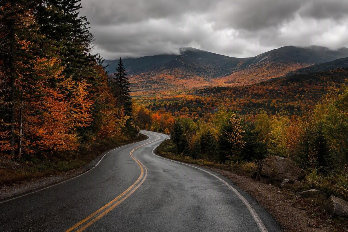
The Kancamagus Highway scenic drive connects Conway and Lincoln, New Hampshire, on Route 112. Its 34.5 miles make a straightforward crossing, but allow a half-day if you want waterfalls, short walks and overlooks rather than just the drive. New Hampshire’s official scenic-drive guide confirms the route and distance.
| Route detail | What to plan |
|---|---|
| One-way distance | 34.5 miles between Conway and Lincoln |
| Driving allowance, without stops | About 60–75 minutes in good weather and light traffic |
| Crossing with selected stops | Allow 3–4 hours for a gorge, waterfall walk and overlook |
| Out-and-back | About 69 miles; allow 4–6 hours with stops and a meal |
| Fuel | No gas stations within the forest crossing; fuel before entering |
| Seasonal access | Winter driving is possible, but overlook and day-use access is more limited |
| Departure check | Route 112 on New England 511, plus Forest Service recreation alerts |
Times are planning allowances, not measured travel times or guaranteed ETAs. Traffic, weather and parking can extend them.
The National Forest Foundation’s route guide lists no gas stations, restaurants or hotels along the forest drive and places Kancamagus Pass at 2,855 feet. Buy food and fuel in an endpoint town rather than expecting services halfway across.
Choose your direction—and budget the return
Start in Conway if you are approaching from the eastern White Mountains; start in Lincoln if you are arriving from I-93. Reverse the stop order below to suit your base.
Heading west from Conway puts the Swift River stops before the climb toward the pass. Beyond the pass, the road descends toward Lincoln, with a tight switchback on the western approach described in the National Forest Foundation’s route guide. Keep driving time separate from walking, finding parking and taking photographs.
For a manageable 3–4-hour one-way visit, budget:
- 60–75 minutes: driving the crossing.
- 20–30 minutes: Rocky Gorge.
- 45–60 minutes: Sabbaday Falls.
- 10–15 minutes: C. L. Graham Wangan Overlook.
- Remaining time: parking, another brief viewpoint or a snack break.
You do not need to visit every pullout. If you must return to the same town, add roughly another hour or more of driving—not merely the time needed to retrace the walks.
Four useful stops, east to west
Rocky Gorge: a short river stop
About eight miles west of Conway. A paved walkway leads from the parking area to a footbridge overlooking the Swift River as it narrows into the gorge. This is a useful choice when you want a scenic walk without committing to a longer hike.
Allow 20–30 minutes for the bridge and river views. Beyond the bridge, a path rises toward Falls Pond; the mile-long pond trail is extra walking, not part of this quick-stop allowance. Swimming or jumping into the gorge is prohibited. The Forest Service lists the site’s regular season as mid-May to mid-October. Rocky Gorge site information
Sabbaday Falls: allow time beyond the walk in
About 15 miles west of Conway. The Forest Service describes an easy, approximately 15-minute walk to the falls on an evenly graded gravel trail. A stone staircase and walkway sit beside the cascades; this is not a roadside view from your car.
Budget 45–60 minutes for walking both ways, viewing the falls and returning to the vehicle. Wear shoes with grip, especially when surfaces are wet. Swimming is not allowed. Sabbaday Falls site information
C. L. Graham Wangan Overlook: the pass-area view
Just below the summit of Kancamagus Pass. This overlook faces the Swift River watershed and mountains to the north and east. Allow 10–15 minutes when visibility is good; low cloud can make this a less useful stop than the river sites.
The large paved lot can accommodate buses and Class A motorhomes, but it is not plowed in winter. Do not assume an accessible highway means an accessible overlook. Forest Service overlook details
Lincoln Woods: a limited 2026 stop
Near the Lincoln end, Lincoln Woods can provide a final stretch break, but its usual hiking advice needs an update. As of October 10, 2026, the Forest Service lists Lincoln Woods Trail as closed from June 15 through November 2026, between Route 112 and the Osseo Trail junction.
Parking, suspension-bridge access and the East Side Trail remain available. Treat a brief bridge visit as an optional 15–30-minute stop, not an invitation to continue onto the closed trail. Current Lincoln Woods conditions
Parking fees are separate from the crossing
Some developed recreation stops require a pass. Rocky Gorge lists $5 per vehicle per day, checked October 10, 2026. Posted Rocky Gorge fee
The Forest Service’s pass guidance lists Rocky Gorge, Sabbaday Falls, Lincoln Woods and several other corridor sites as recreation-pass locations. Valid daily, White Mountain annual and qualifying interagency passes are accepted at the listed sites. Day passes are sold at maintained self-service pay stations; display your pass as directed.
Campgrounds and concessionaire-operated facilities can have separate charges. A pass also does not guarantee a parking space: if a lot is full, skip the stop rather than making an unsafe roadside substitute.
Pick the season, then check conditions
Fall: The regional tourism association places typical White Mountains peak foliage between late September and the second week of October, while emphasizing that timing varies. Use its foliage guidance and tracker rather than treating a particular weekend as guaranteed peak. Prefer a weekday or early start when your schedule allows, and avoid a tight lunch reservation at the far end.
Summer: The gorge-and-waterfall itinerary works well as a crossing with short walks. Pack drinking water: Rocky Gorge and Sabbaday Falls list no potable water.
Winter and early spring: The highway is normally maintained for winter travel, but snow, pass weather and unplowed overlooks change the outing. Yankee’s winter-drive guide describes these distinctions. Use suitable winter tires and postpone a discretionary scenic trip during poor conditions. Do not apply the fair-weather timing table to a snowy crossing.
Before leaving town, check Route 112 between Conway and Lincoln on New England 511 and review White Mountain National Forest alerts for your chosen stops. Download the route and stop locations beforehand.
If you want a different return route, New Hampshire’s scenic-drive guide describes a longer circuit via I-93, Route 3, Route 302 and Route 16. That is a separate mountain outing, not a quick return shortcut. Bear Notch Road is seasonal, so do not build it into your return without confirming access. Official White Mountains route options