
Plan the Kettle Moraine Scenic Drive Without Rushing the Stops
Plan Wisconsin’s 115-mile Kettle Moraine Scenic Drive with realistic timing, exact endpoints, short walks, park fees and October 2026 construction notes.
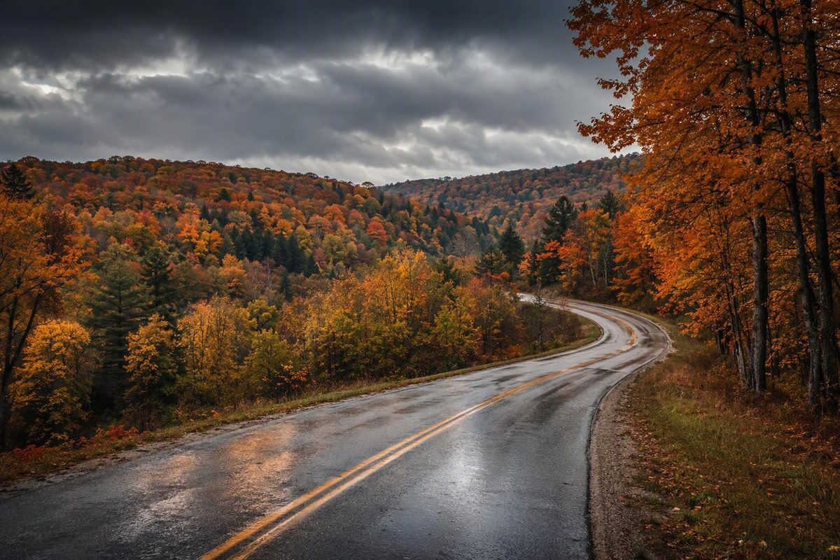
The Kettle Moraine Scenic Drive links Whitewater Lake with the Elkhart Lake area through southeastern Wisconsin’s glacial hills, lakes and forests. Allow 3½–4½ hours for driving and 6–8 hours with a few stops, before adding your journey to the route and the trip home. It is a point-to-point drive, not a loop or a single highway.
Route at a glance
| Item | Planning detail |
|---|---|
| Distance | About 115 miles one way, excluding stop detours |
| Southern endpoint | Southernmost intersection of State Park Road and Kettle Moraine Drive, southeast of Whitewater |
| Northern endpoint | County P and County J at Sheboygan Marsh, northwest of Elkhart Lake |
| Navigation | Local roads and county/state highways; follow green acorn signs and the DNR turn sheet |
| Driving allowance | 3½–4½ hours in reasonable conditions, before construction delays |
| Full outing | 6–8 hours with short walks and lunch; longer for museums or substantial hikes |
| Fuel plan | Start fueled; arrange any top-up around a town stop rather than a forest trailhead |
The Wisconsin DNR route page gives the approximately 115-mile length. Its driving-directions handout identifies the exact endpoints; the northern finish is beyond downtown Elkhart Lake. Travel Wisconsin confirms the green acorn turn markers.
The time ranges here are planning allowances, not official journey times. Numerous turns, town streets and stop signs make highway-speed arithmetic unhelpful.
Check the southern roadwork first
Check County Highway H before driving the full southern leg. As of October 25, 2026, the DNR still lists construction scheduled through October 30. Walworth County’s project covers the 3.2 miles from US-12 to Young Road in LaGrange. The county gives October 30 as the contract completion date—not a confirmed reopening date.
The county’s notice specifies closure to through traffic during construction and a signed detour using WIS 67, County S in Waukesha County and WIS 59. Local access is generally maintained, but intermittent daytime culvert closures can block even local passage. Follow the posted detour rather than treating trailhead access as permission to drive through. See the county construction notice and Southern Unit notices for updates.
This work affects the early southern leg. If you want a late-October outing that avoids it, start at Eagle or Delafield and drive north instead of insisting on the full route.
Follow the route in three manageable legs
Save the DNR overview map and turn sheet before leaving. Entering only the two endpoints in navigation can produce a faster route that skips the scenic alignment. Use intermediate waypoints, then check each leg against the official directions. The DNR-linked turn sheet is dated 2012; current signs and closures take precedence.
| South-to-north leg | Approximate distance | Driving allowance | Route anchors |
|---|---|---|---|
| Whitewater Lake–Delafield | 35 miles | 1–1¼ hours | State Park Road, Kettle Moraine Drive, County H, Palmyra, Eagle, County ZZ and Waterville Road |
| Delafield–Dundee | 53 miles | 1½–2 hours | Nashotah, North Lake, Monches, Slinger area, New Fane and County G |
| Dundee–Sheboygan Marsh | 26 miles | 1–1¼ hours | Butler Lake Road, Scenic Drive, County U, Greenbush, Glenbeulah and Elkhart Lake |
Distances are approximate, based on the DNR-linked directions; they exclude attraction access roads and construction detours. These anchors are not substitutes for the many intervening turns.
For a half-day trip, Whitewater Lake–Delafield gives you the Southern Unit and a practical town finish, subject to the Highway H work. Dundee–Elkhart Lake/Sheboygan Marsh is the shorter northern option. Budget the return separately: retracing the entire scenic route means about 230 miles before side trips.
Three stops that fit a driving day
Choose two or three rather than stopping at every trail system. These visit allowances are separate from the route’s driving time.
- Rice Lake Nature Trail: allow 30–45 minutes. Near the southern end, this 0.5-mile walk is off Kettle Moraine Drive just east of Hi-Lo Road. It follows a small pond and includes a wildlife blind—a manageable leg stretch rather than a long hike. Southern Unit hiking details.
- Lapham Peak: allow 45–60 minutes for a brief tower-focused visit. Near Delafield, the unit’s 45-foot observation tower stands on Waukesha County’s highest point. Add more time if you intend to walk the trails. Lapham Peak information.
- Parnell Tower: allow 45–60 minutes for the tower visit, or roughly 1½–2 hours for the full trail loop. The trailhead is on County U, one-quarter mile west of County A. Steps lead toward the 60-foot tower; the complete loop is 3.5 miles. The parking lot closes in winter. Northern Unit hiking details.
Build lunch around a town waypoint such as Delafield or Elkhart Lake. Wade House and Old World Wisconsin are also DNR-listed historic sites on or near the drive, but treat a museum visit as a major addition and check its seasonal calendar before committing.
Fees, seasons and preparation
There is no separate scenic-drive admission to budget for the public-road itinerary. Stopping your vehicle in Wisconsin state parks, forests and recreation areas requires a vehicle admission pass. Rates checked October 25, 2026: a daily pass is $13 for Wisconsin-plated vehicles or $16 for out-of-state plates; Wisconsin residents age 65 and older with Wisconsin plates pay $3. Rental-car admission follows the vehicle’s plate, not the driver’s residence. DNR admission rules and rates.
For fall foliage, use the Travel Wisconsin Fall Color Report shortly before departure rather than assuming one peak weekend applies to the whole route. Its October 20 updates forecast the fourth week of October for both Delafield and Elkhart Lake; those are forecasts, not guarantees of remaining leaves.
Late-season facilities need a separate check:
- Northern Unit: recreation-area and campground water systems, including flush toilets and showers, were scheduled to shut down by October 19, 2026. Logging continues in several trail areas through mid-November; affected trails remain open, with machinery possible. Northern Unit conditions.
- Pike Lake detour: beach-parking construction is scheduled through fall 2026, with 50 beach-parking stalls and the boat launch remaining open during the work. Pike Lake notices.
Carry drinking water, walking shoes, a warm layer and downloaded directions. Check tires and wipers before a wet-weather outing, and use Wisconsin 511 for road conditions and incidents. In snow or freezing rain, shorten or postpone the drive rather than trying to recover time between stops. Winter also changes trail access: designated Northern Unit ski trails prohibit hiking when snow-covered, so choose your walk from the current park guidance rather than a summer itinerary.