
Mulholland Highway: A Mountain-to-Coast Drive, Not a Quick Shortcut
Plan Mulholland Highway from Calabasas to the coast with realistic timing, worthwhile stops, the reopened Snake and November 2026 closure checks.
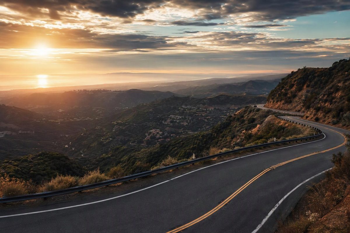
Allow 90 minutes to two hours of driving, or four to six hours with stops, for a Mulholland Highway outing from the Calabasas side of the Santa Monica Mountains to the Pacific Coast Highway near Leo Carrillo State Park. The attraction is the changing landscape—valley meadows, canyon bends and coastal mountains—not a fast passage to Malibu.
This is Mulholland Highway, the rural mountain road, rather than the Hollywood overlook section of Mulholland Drive. The Mountains Recreation and Conservation Authority’s corridor guide distinguishes the roughly 30-mile highway from the eastern city route and its unpaved section.
| Planning item | What to allow |
|---|---|
| Route | Calabasas/Topanga Canyon Boulevard side to PCH near Leo Carrillo State Park |
| Distance | Roughly 30–33 miles one way, before parking-area detours |
| Driving allowance | 90 minutes–2 hours without sightseeing stops, assuming no substantial delays |
| With stops | 4–6 hours; add travel to the start and the return journey separately |
| Fuel plan | Fill or charge beforehand, with enough range for the mountain drive and your return route |
| Conditions check | County road closures, park access and PCH conditions |
The distance range reflects the MRCA’s approximately 30-mile description and AAA’s 32.4-mile scenic itinerary. Driving and stop times below are planning allowances, not measured travel times. The driving allowance leaves more time than AAA’s one-hour estimate for an unfamiliar, winding road.
Check the Snake and park access first
As checked November 5, 2026, Mulholland Highway was not listed on LA County Public Works’ road-closure list. Recheck before departure; an absent listing is not a guarantee against incidents or temporary restrictions.
The Snake, a 2.4-mile section extending from just beyond Sierra Creek Road toward Kanan Road, reopened on December 2, 2025, with safety improvements, according to local reporting by The Acorn, corroborated by Road & Track. Earlier accounts of its prolonged closure do not describe that reopening. It is a public road serving residents, not a place to test cornering limits.
Park access is a separate check. A coordinated red-flag-warning closure protocol took effect in October 2026 across the Santa Monica Mountains. Closures can affect trails, visitor centers and parking areas while some public roads or beaches remain accessible. The agencies explicitly warn that not every closed area will be signed or gated. Check the managing agency’s notice rather than assuming an open highway means an open stop. See the California State Parks protocol.
Follow the highway toward the ocean
For an east-to-west drive, enter Mulholland Highway from the Topanga Canyon Boulevard/Calabasas side and follow the highway toward Las Virgenes Road, Cornell, Kanan Road and eventually PCH. Build your navigation route with intermediate waypoints: a coast destination alone can send you onto a quicker canyon road instead.
A useful sequence is King Gillette Ranch visitor center → Peter Strauss Ranch → Rocky Oaks → Leo Carrillo State Park. Stay on Mulholland Highway between stops, checking the route at major junctions before continuing.
If you want a shorter outing, reach King Gillette Ranch from US 101 via Las Virgenes Road. The NPS directions place it three miles south of the freeway, just east of the Mulholland intersection. Visit the ranch, drive west to Peter Strauss Ranch, then retrace your route rather than committing to the Snake and the coast.
Choose two mountain stops and a beach finish
King Gillette Ranch: orientation and a first walk
Allow 30–60 minutes. The interagency visitor center at 26876 Mulholland Highway provides a practical first stop with restrooms, water and visitor information. NPS lists a two-hour free-parking limit in the main visitor-center lot, with separate paid all-day parking nearby. Check the center’s opening hours before departure. Visitor-center details.
For a longer visit, the ranch’s short but somewhat steep walk to Inspiration Point offers 360-degree views, including Malibu Creek State Park’s rock formations. NPS ranch guide.
Peter Strauss Ranch: an easy walking break
Allow 30–45 minutes at 30000 Mulholland Highway for oak woodland, easy trails and remnants of the site’s recreation history. The parking lot is separate from the main ranch area; NPS directs visitors to walk back across the highway bridge to the entrance. Pay attention to traffic rather than treating this as an enclosed park stroll. NPS directions and facilities.
Nearby, the Rock Store is an optional breakfast or lunch stop if its schedule fits. Its operator website advertises service on Fridays, Saturdays and Sundays; don’t make it your only food plan on another day.
Rocky Oaks: a short loop beyond Kanan Road
Allow 20–40 minutes. The entrance is on the north side of Mulholland Highway in the 31500 block, west of Kanan Road. Gentle loop trails pass a seasonal pond that depends on rainfall, not permanent water. NPS lists restrooms and a dirt parking lot that closes during rain. Rocky Oaks guide.
Leo Carrillo: finish off the roadway
Allow 45–90 minutes for a beach walk or picnic after reaching PCH. Use the park’s designated parking rather than stopping at the highway junction. The park offers 1.5 miles of beach, tide pools and coastal scenery; its current park page lists day-use parking hours of 8 a.m.–10 p.m. Check access and the current entry fee before arrival.
Drive in daylight and leave time to get home
The NPS traffic guide specifically warns about blind turns and the route’s popularity with motorcyclists and other driving enthusiasts. Slow before bends, remain within your lane and leave space around cyclists. Only pull over where parking is legal and your vehicle can clear the travel lane.
Bring water, a snack and an offline map; NPS notes unreliable cell service at several stops. Check tires and brakes before the outing, and use an appropriate lower gear on descents rather than continuously riding the brakes.
Choose a dry, clear day for your first drive. During strong-wind or red-flag conditions, postpone the mountain outing if access or evacuation conditions are uncertain. For a coastal return, check Caltrans QuickMap for PCH conditions before choosing your route home. The four-to-six-hour sightseeing allowance ends at the beach—it does not include the drive back through Los Angeles traffic.