
Plan Stanley Park by Stop, Not as a Quick Drive-Through
Plan a Stanley Park drive with realistic timing, year-round paid parking, scenic stops, a transit alternative and current-condition checks.
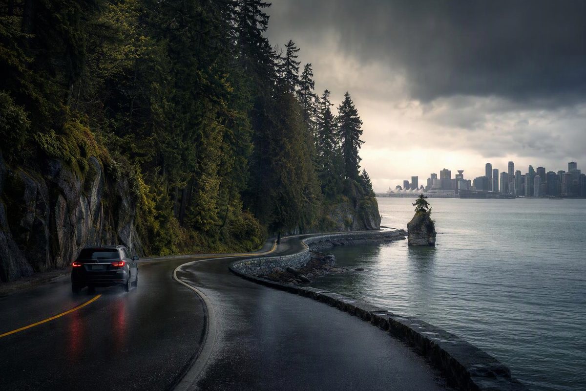
Stanley Park is in downtown Vancouver, but it works more like a collection of separate stops than a single roadside viewpoint. A drive with one quick stop can fit into an hour; combining the waterfront, forest and several landmarks usually needs half a day.
The City of Vancouver describes Stanley Park as a 400-hectare park with beaches, trails, landmarks, dining and the Vancouver Aquarium. It is open from 6 a.m. to 10 p.m. unless otherwise posted, while washrooms are available from dawn to dusk (City of Vancouver).
Stanley Park planning snapshot
| Plan | Realistic allowance |
|---|---|
| Drive with no substantial stops | 45–60 minutes |
| Drive plus 2–3 short stops | 2–3 hours |
| Viewpoints plus a beach or forest walk | 4–5 hours |
| Aquarium plus outdoor sightseeing | Most of a day |
| Parking | Paid year-round throughout the park |
| Best vehicle strategy | Choose stops before entering |
These are planning allowances, not official drive times or navigation-app ETAs. Events, road work, parking searches and walks from the lots can all extend a visit.
Do not navigate only to “Stanley Park”
A generic map pin may get you into the park without solving where to stop. Before leaving, choose a first destination and identify nearby parking on the city’s Stanley Park parking map.
A practical sightseeing sequence is:
- Totem poles and Brockton Point for a short first stop.
- Prospect Point for the elevated viewpoint.
- Third Beach or Second Beach if the waterfront is a priority.
- Lost Lagoon near the downtown side for a final walk.
Follow current signs rather than trying to reverse course for a missed turn. Parking access, temporary controls and the park road layout can make backtracking slower than it appears on a map.
If the aquarium is the main purpose of the visit, navigate directly to that area and treat the scenic drive as a separate activity. An aquarium visit, every major viewpoint and a substantial walk will not fit comfortably into two hours.
Parking: a daily pass can follow you between lots
Pay parking applies year-round throughout Stanley Park, including roadways within the park. The city says a daily pass is valid in any Stanley Park lot or space. Machines marked with blue pins on its map sell hourly and daily passes; those marked in orange sell hourly passes only (City of Vancouver).
Compare the daily option with the cost of several hourly stops, and check current posted fees before paying.
Park only for places that genuinely need a stop. Trying to find a space at every landmark can consume more time than the sightseeing itself. On a busy fair-weather day, keep one lower-priority stop optional rather than waiting indefinitely for its nearest space.
Do not leave passports, bags or other visible valuables in the vehicle. Road trippers carrying luggage should use secure hotel storage when possible.
Three useful visit plans
One hour: drive-through orientation
Use this only when Stanley Park is an add-on before another fixed commitment.
Follow the signed park route, take one viewpoint stop if parking is readily available, then continue. Do not add the aquarium, a beach visit or a long walk. One hour is enough to understand the park’s scale, not to explore its main areas on foot.
Three hours: a balanced driving visit
Allow roughly:
- 30–45 minutes around Brockton Point and the totem poles
- 20–30 minutes at Prospect Point
- 45–60 minutes at either Second Beach, Third Beach or Lost Lagoon
- 45–60 minutes for driving, parking and short delays
Pick one waterfront stop, not all three. This leaves some margin instead of turning the visit into a sequence of parking searches.
Half day: viewpoints and a meaningful walk
Use four to five hours for two viewpoints plus a beach, lagoon or forest walk. One version combines Brockton Point, Prospect Point and one beach. Another replaces the beach with an interior trail or Lost Lagoon.
Treat a long Seawall outing as a primary activity, not a quick pause during the drive. The city provides separate pedestrian and cycling information as well as digital and printable park maps; check the current route before setting out (City of Vancouver).
When leaving the car outside the park is easier
Driving is useful when Stanley Park is one stop in a larger road trip, passengers have limited walking tolerance or the group is carrying family equipment. It is less useful when everyone wants to walk or cycle and the car would remain in paid parking for most of the day.
TransLink’s Route 19 serves Stanley Park; check the live schedule and service alerts rather than relying on a saved timetable (TransLink). Walking and cycling connections also link the park with downtown and English Bay (City of Vancouver).
A sensible compromise is to leave the car at the hotel, take transit to the park and avoid returning to a distant parking space after a long walk.
Check conditions before committing to the route
On the morning of the visit, review the city’s Stanley Park information and its road-closure and construction map. Also check TransLink alerts if transit is the backup.
High wind, heavy rain or darkness can reduce the value of a viewpoint-and-walk plan even when roads remain open. In poor conditions, shorten the outdoor portion instead of forcing the complete itinerary.
For a broader Vancouver driving day, Stanley Park pairs more naturally with one North Shore attraction than with several downtown neighbourhoods. The Capilano Suspension Bridge driving and visit plan covers parking, shuttle use and realistic time across the harbour. Travellers arriving from Washington should first account for the international travel day in this Seattle-to-Vancouver day-trip plan.